


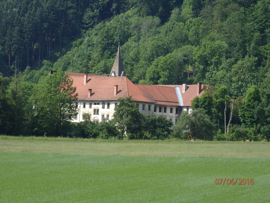
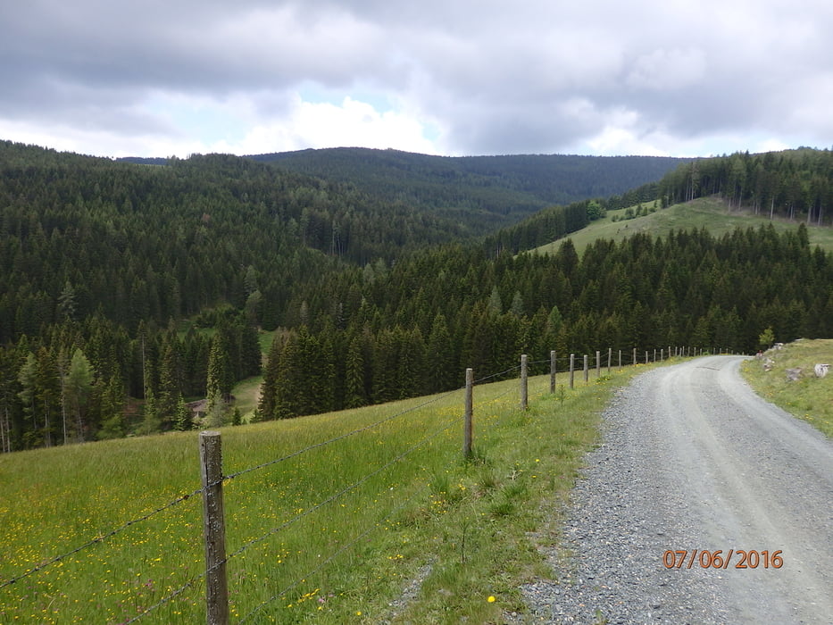
Ausgangs- und Endpunkt: Griffen (Parkplatz beim Strandbad - besser wäre der beim Friedhof im Ort). Diese Tour wird im Radführer "Rad- und Mountainbike-Region Südkärnten-Klopeinersee" beschrieben und wir haben uns an die Streckenführung gehalten. Markierung ist spärlich, aber ausreichend mit der Karte. Von Griffen nach Stift Griffen, vor der Brücke über den Grafenbacher Bach geht es rechts weg, vorerst auf Asphalt, später auf unbefestigtem, immer schlechter werdenden Weg, immer bergauf. Im obersten Drittel überqueren wir die Landesstrasse von Grafenbach nach Greutschach, ab hier ist die unbefestigte Strasse passabel, Am höchsten Punkt (1280m) zweigt sich der Weg, wir fahren nach rechts ständig leicht bergab, stoßen dann wieder auf die Landesstrasse in Untergreutschach, vorbei an der Wehrkirche Greutschach und ständig bergab zurück nach Griffen
Galeria trasy


Mapa trasy i profil wysokości
Minimum height 488 m
Maximum height 1286 m
More about the tour author
|
|
walderich |
Komentarze

GPS tracks
Trackpoints-
GPX / Garmin Map Source (gpx) download
-
TCX / Garmin Training Center® (tcx) download
-
CRS / Garmin Training Center® (crs) download
-
Google Earth (kml) download
-
G7ToWin (g7t) download
-
TTQV (trk) download
-
Overlay (ovl) download
-
Fugawi (txt) download
-
Kompass (DAV) Track (tk) download
-
Karta trasy (pdf) download
-
Original file of the author (gpx) download
More about the tour author
|
|
walderich |
Add to my favorites
Remove from my favorites
Edit tags
Open track
My score
Rate