

Das Gebirge Vercors gehört zu den französischen Alpen.
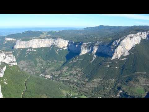
Die Kante zur Gorges de La Bourne (Gorges franz. Schlucht) ist gleichzeitig die Grenze zwischen dem Department Drôme und Isère. Man hat von dort einen phantastischen Blick in die Gorges de La Bourne (siehe You Tube Video).
Der Orginaltrack stammt von Wikiloc (http://de.wikiloc.com/wikiloc/view.do?id=320313). Der Orginaltrack ist nicht sehr präzise. Auf Wikiloc finden sich ähnliche Routen.
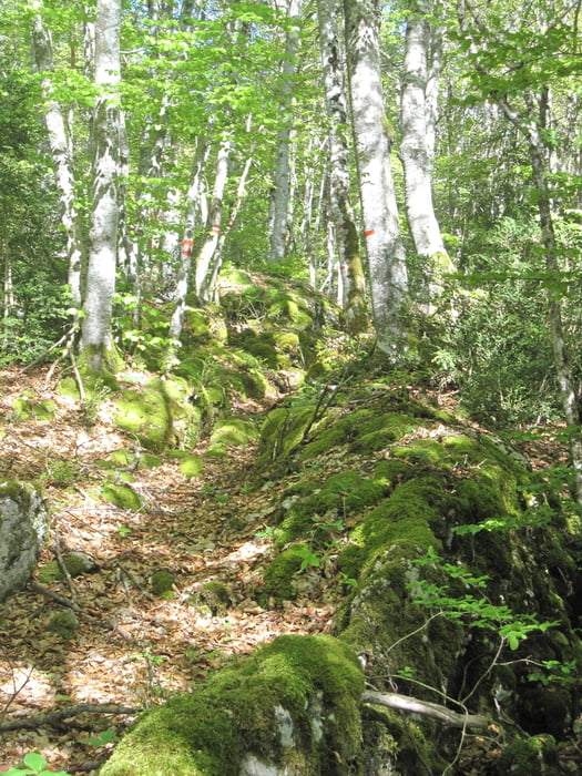
Beachten Sie das Höhenprofil. Für den Anstieg am Schluss der Wanderung hoch zum Pas de l'Allier - insbesondere in der prallen Sonne - benötigt man Kondition. Genügend Wasser mitnehmen.
Mehr Fotos siehe Link weitere Informationen.
Further information at
https://www.facebook.com/dieter.drillich/media_set?set=a.1219214471424458.1073741841.100000077491153&type=3Galeria trasy


Mapa trasy i profil wysokości
Minimum height 836 m
Maximum height 1233 m
More about the tour author
|
|
GPSDieter |
Komentarze

Sie erreichen den Startpunkt Le Briac - ein Ortsteil von Saint-Martin-en-Vercors - über die D612.
Oder geben Sie die GPS Koordinaten N45° 01' 56.1" E5° 25' 25.5" in Ihre Navigation ein.
Parkmöglichkeiten gibt es am Startpunkt.
GPS tracks
Trackpoints-
GPX / Garmin Map Source (gpx) download
-
TCX / Garmin Training Center® (tcx) download
-
CRS / Garmin Training Center® (crs) download
-
Google Earth (kml) download
-
G7ToWin (g7t) download
-
TTQV (trk) download
-
Overlay (ovl) download
-
Fugawi (txt) download
-
Kompass (DAV) Track (tk) download
-
Karta trasy (pdf) download
-
Original file of the author (gpx) download
More about the tour author
|
|
GPSDieter |
Add to my favorites
Remove from my favorites
Edit tags
Open track
My score
Rate