

Knackige Rennrad Tour von Markt Schwaben in das schöne Alpenvorland. Es geht über den Münchner Südosten Richtung Tegernsee. Man fährt über schöne Ortschaften wie Bad Wiessee, Rottach- Egern und Kreuth ( hier einen Abstecher zur Naturkäserei ) hinauf zum Achenpass und Sylvensteinsee. Auf dem Rückweg passiert man Bad Tölz, Holzkirchen und zurück ins Ebersberger Land über Glonn, Ebersberg, Forst und zurück nach Markt Schwaben.
Auf die Distanz gesehen hat man auf dieser Strecke wenig Höhenmeter zu überwinden. Es werden auch keine großen Anforderungen an die Technik gestellt, jedoch sollte man am Vortag gut gespeist und seine Speicher aufgefüllt haben. Klare Konditions- Aufgabe!
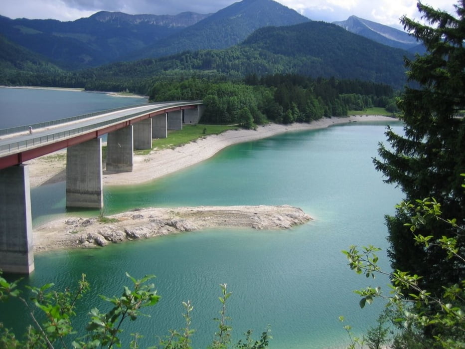
Galeria trasy


Mapa trasy i profil wysokości
Minimum height 482 m
Maximum height 948 m
More about the tour author
|
|
Hasenbaer |
Komentarze

Markt Schwaben siehe google- Maps
GPS tracks
Trackpoints-
GPX / Garmin Map Source (gpx) download
-
TCX / Garmin Training Center® (tcx) download
-
CRS / Garmin Training Center® (crs) download
-
Google Earth (kml) download
-
G7ToWin (g7t) download
-
TTQV (trk) download
-
Overlay (ovl) download
-
Fugawi (txt) download
-
Kompass (DAV) Track (tk) download
-
Karta trasy (pdf) download
-
Original file of the author (gpx) download
More about the tour author
|
|
Hasenbaer |
Add to my favorites
Remove from my favorites
Edit tags
Open track
My score
Rate