Login

Zapomniałeś swój login?

Cookies have to be accepted!
Your browser's cookie functionality is disabled. Please enable this functionality.

Not a member yet?

Register now
Login

Available for registred users only

Log in to use this feature.

Zapomniałeś swój login?

Cookies have to be accepted!
Your browser's cookie functionality is disabled. Please enable this functionality.

Not a member yet?

Register now
Filter
Kategorie
Advanced filters
  • Długość (km)
  • Wysokość
Zapisz filtr Reset filter

TrackRank

QRCode

Technical data

Długość81,7 km Wysokość955 m Way down960 m Czas trwania05:00 h:m Data20.06.2016
Oceny Author Krajobraz Czynnik zadowolenia Kondycja Technika

Statystyka

303 Widoki Oceny 58 Downloads / Pliki do pobrania Przeciętnie
Rate
  • Karta trasy
  • Dojazd
  • Downloads / Pliki do pobrania

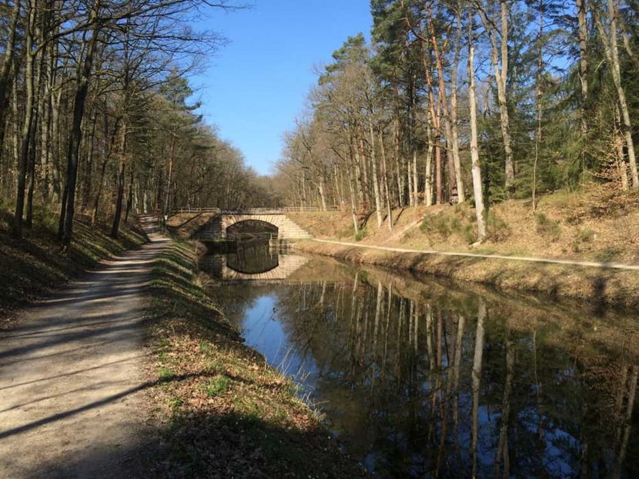
Leichte Ausfahrt für MTB oder Crossbike. Die Runde bewegt sich meist auf Straße und Schotterwegen, kleine Trailabschnitte sind jedoch auch vorhanden. Wir treffen auf den Kanal (Nürnberg- Main Donau Weg) und können uns am Birkensee eine kurze Pause gönnen bevor es weiter nach Dehnberg zum Italiener geht.


Viel Spaß wünscht die Radsportzentrale Hersbruck

Mapa trasy i profil wysokości

  • Open Street Map
  • Google
Minimum height 261 m Maximum height 607 m Widok szczegółowy

More about the tour author

discereperdolor
Member since 2012

Send private message

Komentarze

GPS tracks

Trackpoints
  • GPX / Garmin Map Source (gpx) download
  • TCX / Garmin Training Center® (tcx) download
  • CRS / Garmin Training Center® (crs) download
  • Google Earth (kml) download
  • G7ToWin (g7t) download
  • TTQV (trk) download
  • Overlay (ovl) download
  • Fugawi (txt) download
  • Kompass (DAV) Track (tk) download
  • Karta trasy (pdf) download
  • Original file of the author (tcx) download

More about the tour author

discereperdolor
Member since 2012

Send private message
Share track
Add to my favorites
Remove from my favorites
Edit tags
My score
Rate
Trasa: Zum Birkensee
Rodzaj: Rower górski (MTB)
Długość: 81,7 km
Evaluated on:
Czas trwania:
Day(s)
Hour(s)
Minute(s)
Ocena: Krajobraz Czynnik zadowolenia Kondycja Technika