Login

Zapomniałeś swój login?

Cookies have to be accepted!
Your browser's cookie functionality is disabled. Please enable this functionality.

Not a member yet?

Register now
Login

Available for registred users only

Log in to use this feature.

Zapomniałeś swój login?

Cookies have to be accepted!
Your browser's cookie functionality is disabled. Please enable this functionality.

Not a member yet?

Register now
Filter
Kategorie
Advanced filters
  • Długość (km)
  • Wysokość
Zapisz filtr Reset filter

TrackRank

QRCode

Technical data

Długość23,5 km Wysokość788 m Way down817 m Czas trwania03:00 h:m Data20.06.2016
Oceny Author Krajobraz Czynnik zadowolenia Kondycja Technika

Statystyka

638 Widoki Oceny 57 Downloads / Pliki do pobrania Przeciętnie
Rate
  • Karta trasy
  • Dojazd
  • Downloads / Pliki do pobrania
  • Rundkurs im Uhrzeigersinn.
  • Start/Ziel: Weissensee , Weissensee Haus, Parkplatz 6€/Tg. Gratisparkplatz: Ortseingang Praditz.
  • Einrollen auf dem Süduferweg.
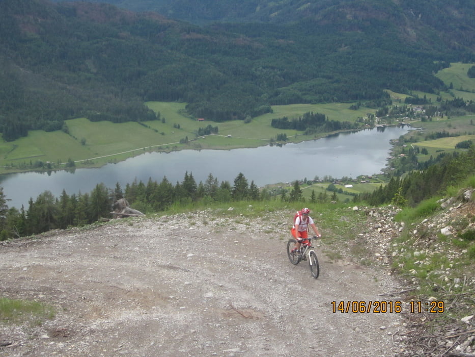
  • Grösstenteils Forstweg. Von Km. 10,8 - 14,8 Anstieg mittelsteil/mittelsteil+. Stellenweise gerölliger Untergrund.
  • Km. 10,8  Weisse Wand - Aussichtspunkt.
  • Km. 20,1  Alm hinterm Brunn (Dienstag Ruhetag).

Galeria trasy

Mapa trasy i profil wysokości

  • Open Street Map
  • Google
Minimum height 939 m Maximum height 1554 m Widok szczegółowy

More about the tour author

MargesinFriedrich
Member since 2012

Send private message

Komentarze

GPS tracks

Trackpoints
  • GPX / Garmin Map Source (gpx) download
  • TCX / Garmin Training Center® (tcx) download
  • CRS / Garmin Training Center® (crs) download
  • Google Earth (kml) download
  • G7ToWin (g7t) download
  • TTQV (trk) download
  • Overlay (ovl) download
  • Fugawi (txt) download
  • Kompass (DAV) Track (tk) download
  • Karta trasy (pdf) download
  • Original file of the author (gpx) download

More about the tour author

MargesinFriedrich
Member since 2012

Send private message
Share track
Add to my favorites
Remove from my favorites
Edit tags
My score
Rate
Trasa: Weissensee-Weisse Wand-Alm hinterm Brunn.
Rodzaj: Rower górski (MTB)
Długość: 23,5 km
Evaluated on:
Czas trwania:
Day(s)
Hour(s)
Minute(s)
Ocena: Krajobraz Czynnik zadowolenia Kondycja Technika