Login

Zapomniałeś swój login?

Cookies have to be accepted!
Your browser's cookie functionality is disabled. Please enable this functionality.

Not a member yet?

Register now
Login

Available for registred users only

Log in to use this feature.

Zapomniałeś swój login?

Cookies have to be accepted!
Your browser's cookie functionality is disabled. Please enable this functionality.

Not a member yet?

Register now
Filter
Kategorie
Advanced filters
  • Długość (km)
  • Wysokość
Zapisz filtr Reset filter

TrackRank

QRCode

Technical data

Długość27,6 km Wysokość2228 m Way down2257 m Czas trwania09:30 h:m Data21.06.2016
Oceny Author Krajobraz Czynnik zadowolenia Kondycja Technika

Statystyka

463 Widoki Oceny 41 Downloads / Pliki do pobrania Przeciętnie
Rate
  • Karta trasy
  • Dojazd
  • Downloads / Pliki do pobrania

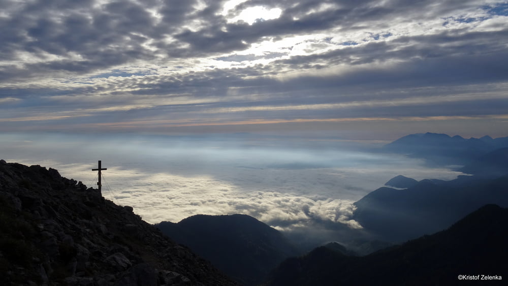
Beginn beim Parkplatz zum Ansieg auf die Bertahütte, den Waldweg entlang bis zur Bertahütte, über den NO Grat auf den Mittagskogel, Abstieg über Westgrad bis JepzaSattel, danach wieder Anstieg auf den Schwarzkogel, weiter zum Mallestiger Mittagskogel und danach der Grenze entlang zum Techantinger Mittagskogel, Abstieg zum KGW03 bis zur Baumgartnerhöhe, danach weiter nach Outschena und zur Illitsch Raut retour zum Parkplatz - Ausdauertour


Galeria trasy

Mapa trasy i profil wysokości

  • Open Street Map
  • Google
Minimum height 891 m Maximum height 2146 m Widok szczegółowy

More about the tour author

kateem
Member since 2010

Send private message

Komentarze

GPS tracks

Trackpoints
  • GPX / Garmin Map Source (gpx) download
  • TCX / Garmin Training Center® (tcx) download
  • CRS / Garmin Training Center® (crs) download
  • Google Earth (kml) download
  • G7ToWin (g7t) download
  • TTQV (trk) download
  • Overlay (ovl) download
  • Fugawi (txt) download
  • Kompass (DAV) Track (tk) download
  • Karta trasy (pdf) download
  • Original file of the author (gpx) download

More about the tour author

kateem
Member since 2010

Send private message
Share track
Add to my favorites
Remove from my favorites
Edit tags
My score
Rate
Trasa: Tour 4 Karawanken
Rodzaj: Transalp
Długość: 27,6 km
Evaluated on:
Czas trwania:
Day(s)
Hour(s)
Minute(s)
Ocena: Krajobraz Czynnik zadowolenia Kondycja Technika