


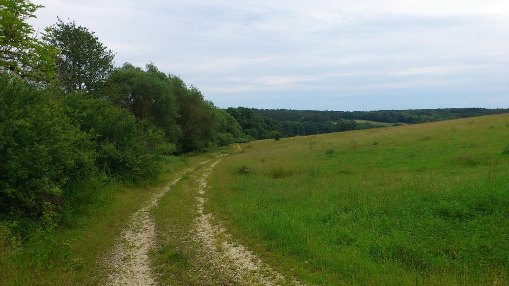
Donauwörth ist zwar keine Alpine Bergregion trotzdem kann man es auf einige Höhenmeter bringen wenn man im Stadtwald die Hügel rauf und runter fährt. Fahrerische technische Ansprüche gibt es hier eigentlich nicht. Die Strecke besteht größtenteils aus forst- und landwirtschaftlichen Straßen. Ich habe mich bemüht die mit Schildern als reine Fußwege markierten Wege zu meiden. Es werden der Stadtwald und der ehemalige Übungsplatz durchquert. Naturliebhaber dürften begeistert sein.
Koordinaten Bieberbiotop: 48.743568420410156N 10.803425788879395E
Galeria trasy


Mapa trasy i profil wysokości
Minimum height 405 m
Maximum height 591 m
More about the tour author
|
|
JoachimDief |
Komentarze

Donauwörth Innenstadt, Promenade
Die Strecke beginnt am südlichen Ortseingang in Donauwörth kurz nach der Donaubrücke bei der Promenade – nach der Ampel beim Discounter NETTO.
GPS tracks
Trackpoints-
GPX / Garmin Map Source (gpx) download
-
TCX / Garmin Training Center® (tcx) download
-
CRS / Garmin Training Center® (crs) download
-
Google Earth (kml) download
-
G7ToWin (g7t) download
-
TTQV (trk) download
-
Overlay (ovl) download
-
Fugawi (txt) download
-
Kompass (DAV) Track (tk) download
-
Karta trasy (pdf) download
-
Original file of the author (gpx) download
More about the tour author
|
|
JoachimDief |
Add to my favorites
Remove from my favorites
Edit tags
Open track
My score
Rate