Login

Zapomniałeś swój login?

Cookies have to be accepted!
Your browser's cookie functionality is disabled. Please enable this functionality.

Not a member yet?

Register now
Login

Available for registred users only

Log in to use this feature.

Zapomniałeś swój login?

Cookies have to be accepted!
Your browser's cookie functionality is disabled. Please enable this functionality.

Not a member yet?

Register now
Filter
Kategorie
Advanced filters
  • Długość (km)
  • Wysokość
Zapisz filtr Reset filter

TrackRank

QRCode

Technical data

Długość58,4 km Wysokość571 m Way down568 m Czas trwania00:00 h:m Data06.07.2016
Oceny Author Krajobraz Czynnik zadowolenia Kondycja Technika

Statystyka

193 Widoki Oceny 35 Downloads / Pliki do pobrania Przeciętnie
Rate
  • Karta trasy
  • Dojazd
  • Downloads / Pliki do pobrania

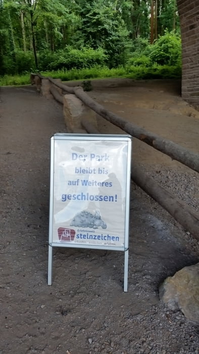
Wir Starten an der Feuerwehr in Oberbecksen, von dort aus fahren wir über Nebenstrassen " rauf " zum Frettholzweg in Porta. Von dort durch den Wald, durch kleine Siedlungen und über Feldwege hinweg Richtung Rinteln und dem dortigen " Steinzeichen " . Ja leider ( hätte ich mal vorher geschaut ) war der Park und demnach auch das Zeichzeichen geschlossen, aber nicht schlimm denn die Tour hat dennoch Spaß gemacht und war nicht soooo anstrengend .


Mapa trasy i profil wysokości

  • Open Street Map
  • Google
Minimum height 43 m Maximum height 203 m Widok szczegółowy

More about the tour author

der-jens
Member since 2014

Send private message

Komentarze

GPS tracks

Trackpoints
  • GPX / Garmin Map Source (gpx) download
  • TCX / Garmin Training Center® (tcx) download
  • CRS / Garmin Training Center® (crs) download
  • Google Earth (kml) download
  • G7ToWin (g7t) download
  • TTQV (trk) download
  • Overlay (ovl) download
  • Fugawi (txt) download
  • Kompass (DAV) Track (tk) download
  • Karta trasy (pdf) download
  • Original file of the author (gpx) download

More about the tour author

der-jens
Member since 2014

Send private message
Share track
Add to my favorites
Remove from my favorites
Edit tags
My score
Rate
Trasa: Von Bad Oeynhausen zum Steinzeichen
Rodzaj: Trasy rowerowe
Długość: 58,4 km
Evaluated on:
Czas trwania:
Day(s)
Hour(s)
Minute(s)
Ocena: Krajobraz Czynnik zadowolenia Kondycja Technika