Login

Zapomniałeś swój login?

Cookies have to be accepted!
Your browser's cookie functionality is disabled. Please enable this functionality.

Not a member yet?

Register now
Login

Available for registred users only

Log in to use this feature.

Zapomniałeś swój login?

Cookies have to be accepted!
Your browser's cookie functionality is disabled. Please enable this functionality.

Not a member yet?

Register now
Filter
Kategorie
Advanced filters
  • Długość (km)
  • Wysokość
Zapisz filtr Reset filter

TrackRank

QRCode

Technical data

Długość35,1 km Wysokość887 m Way down873 m Czas trwania03:24 h:m Data07.07.2016
Oceny Author Krajobraz Czynnik zadowolenia Kondycja Technika

Statystyka

355 Widoki 1 Ocena 85 Downloads / Pliki do pobrania 4.00 Przeciętnie
Rate
  • Karta trasy
  • Dojazd
  • Downloads / Pliki do pobrania
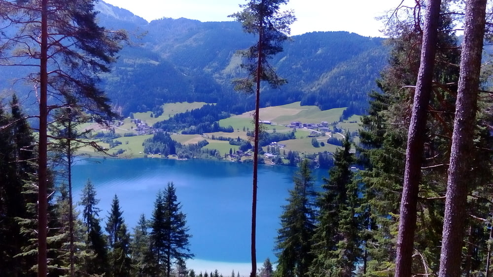
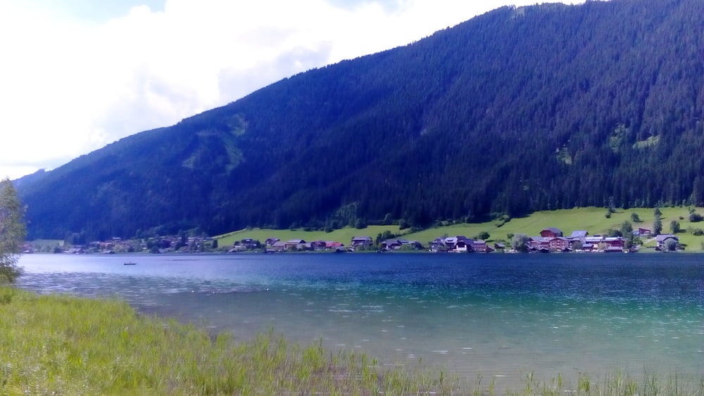
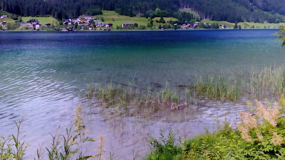
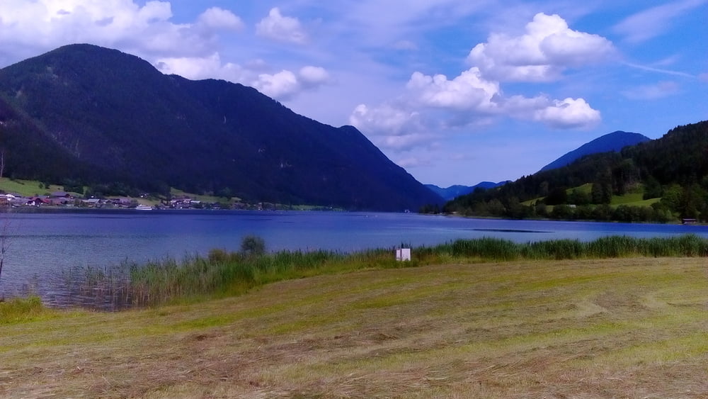
Nette, kurze Runde um den Weißensee mit 3 neuen trails:
runter zum Ostufer S2-3 (für mich 20 Min Schiebung), Zwischenstück Weißenseestraße nach Weißbach S1, von der Bodenalm Rg Naggl S1-2.
 

Galeria trasy

Mapa trasy i profil wysokości

  • Open Street Map
  • Google
Minimum height 916 m Maximum height 1271 m Widok szczegółowy

More about the tour author

mitter
Member since 2008

Send private message

Komentarze

kuernbike on 13.08.2017

danke!

Danke für's aufmerksam machen, den genialen Trail am Wanderweg von der Hermagorer Bodenalm kannte ich noch nicht! Ist übrigens wesentlich länger als von dir gefahren; man kann nach jeder Forstwegquerung wieder direkt in den Trail einsteigen. :-)

Start in Neusach am Weißensee.


GPS tracks

Trackpoints
  • GPX / Garmin Map Source (gpx) download
  • TCX / Garmin Training Center® (tcx) download
  • CRS / Garmin Training Center® (crs) download
  • Google Earth (kml) download
  • G7ToWin (g7t) download
  • TTQV (trk) download
  • Overlay (ovl) download
  • Fugawi (txt) download
  • Kompass (DAV) Track (tk) download
  • Karta trasy (pdf) download
  • Original file of the author (gpx) download

More about the tour author

mitter
Member since 2008

Send private message
Share track
Add to my favorites
Remove from my favorites
Edit tags
My score
Rate
Trasa: kleine Weißenseerunde 160705
Rodzaj: Rower górski (MTB)
Długość: 35,1 km
Evaluated on:
Czas trwania:
Day(s)
Hour(s)
Minute(s)
Ocena: Krajobraz Czynnik zadowolenia Kondycja Technika