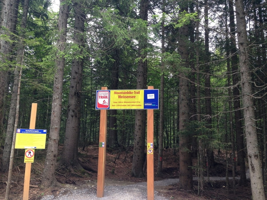
Start der Tour ist beim Wendeplatz in Naggl.
Über die Forststraße geht es auf die Naggler Alm und weiter zur Bergstation von der Seilbahn.
Bei der Bergstation beginnt der neu angelegte Singletrail und endet genau bei der Talstation.
Der Trail verläuft durch den Wald, kreuzt die Schipiste und die Forststraße mehrmals, ist gut beschildert, nicht sehr steil, wenig wurzelig und durchgehend befahrbar.
Bei der Talstation angekommen, geht es durch den Wald vorbei an der alten Mühle, zurück nach Naggl.
Further information at
http://www.weissensee-bergbahn.at/Galeria trasy
Mapa trasy i profil wysokości
Komentarze

gebührenpflichtige Parkplätze in Naggl
GPS tracks
Trackpoints-
GPX / Garmin Map Source (gpx) download
-
TCX / Garmin Training Center® (tcx) download
-
CRS / Garmin Training Center® (crs) download
-
Google Earth (kml) download
-
G7ToWin (g7t) download
-
TTQV (trk) download
-
Overlay (ovl) download
-
Fugawi (txt) download
-
Kompass (DAV) Track (tk) download
-
Karta trasy (pdf) download
-
Original file of the author (gpx) download


