

- Rundkurs: Im Uhrzeigersinn
- Start/Ziel: Goldrain/Latsch (MH.666).
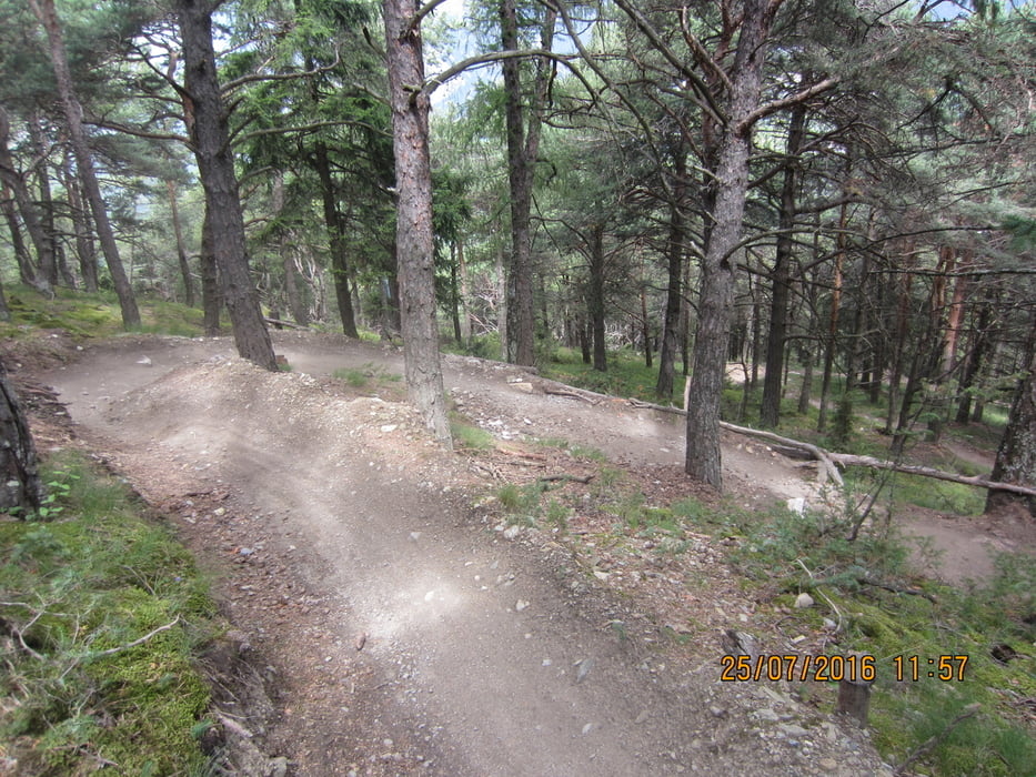
- Kurzes Einrollen auf der Hauptstrasse von Goldrain nach Morter. In Morter beginnt der 8,5 KM. lange Aufstieg zu den Morterer Legern(bewaldete Weideflächen). Der Schotterweg ist mittelsteil bis steil. Im unteren Bereich sind Teilstücke ziemlich steil. Nach 10,2 KM. 1.700 MH. erreichen wir den höchsten Punkt der Tour. Auf einem Forst-, bzw. Karrenweg fahren wir weiter bis zum Einstieg( KM. 13,1 MH 1.600) des flowigen, stellenweise anspruchsvollen Holy Hansen Trail . (S1-S3). Trailende: KM 18,5 MH 838 in Göflan. Auf dem Radweg zurück nach Goldrain.
- Anmerkung: Mir als S2 Fahrer hat der Trail Spass gemacht. Bin bei den schwierigsten Stellen aus dem Sattel.
- Weitere schöne Touren im Vinschgau findet ihr im Buch: Mountainbiken im Vinschgau(Siegi Weisenhorn).
Galeria trasy


Mapa trasy i profil wysokości
Minimum height 666 m
Maximum height 1699 m
More about the tour author
|
|
MargesinFriedrich |
Komentarze

GPS tracks
Trackpoints-
GPX / Garmin Map Source (gpx) download
-
TCX / Garmin Training Center® (tcx) download
-
CRS / Garmin Training Center® (crs) download
-
Google Earth (kml) download
-
G7ToWin (g7t) download
-
TTQV (trk) download
-
Overlay (ovl) download
-
Fugawi (txt) download
-
Kompass (DAV) Track (tk) download
-
Karta trasy (pdf) download
-
Original file of the author (gpx) download
More about the tour author
|
|
MargesinFriedrich |
Add to my favorites
Remove from my favorites
Edit tags
Open track
My score
Rate