Login

Zapomniałeś swój login?

Cookies have to be accepted!
Your browser's cookie functionality is disabled. Please enable this functionality.

Not a member yet?

Register now
Login

Available for registred users only

Log in to use this feature.

Zapomniałeś swój login?

Cookies have to be accepted!
Your browser's cookie functionality is disabled. Please enable this functionality.

Not a member yet?

Register now
Filter
Kategorie
Advanced filters
  • Długość (km)
  • Wysokość
Zapisz filtr Reset filter

TrackRank

QRCode

Technical data

Długość37,6 km Wysokość1067 m Way down1081 m Czas trwania04:00 h:m Data27.07.2016
Oceny Author User Krajobraz Czynnik zadowolenia Kondycja Technika

Statystyka

841 Widoki 4 Oceny 196 Downloads / Pliki do pobrania 4.25 Przeciętnie
Rate
  • Karta trasy
  • Dojazd
  • Downloads / Pliki do pobrania

Diese Tour ist von einem anderen Autor ungefähr so wie wir sie gefahren sind eingestellt worden und dann wieder aus diesem Forum entfernt worden. Ich finde diese Tour so schön, dass ich sie hier wieder präsentiere...viel Spaß bei den Trails.

Anmerkung: Am Wasserkraftwek Ruselstr  im Uhrzeigersinn starten, an der Kreuzung (Hin - und Rückweg) zuerst den rechten Track bergauf fahren der Track wechselt hier gegen den Uhrzeiger und bildet eine " 8 ".
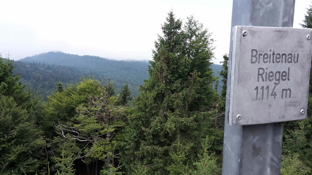
 

Galeria trasy

Mapa trasy i profil wysokości

  • Open Street Map
  • Google
Minimum height 320 m Maximum height 1066 m Widok szczegółowy

More about the tour author

GILBERTMU
Member since 2010

Send private message

Komentarze

GPS tracks

Trackpoints
  • GPX / Garmin Map Source (gpx) download
  • TCX / Garmin Training Center® (tcx) download
  • CRS / Garmin Training Center® (crs) download
  • Google Earth (kml) download
  • G7ToWin (g7t) download
  • TTQV (trk) download
  • Overlay (ovl) download
  • Fugawi (txt) download
  • Kompass (DAV) Track (tk) download
  • Karta trasy (pdf) download
  • Original file of the author (gpx) download

More about the tour author

GILBERTMU
Member since 2010

Send private message
Share track
Add to my favorites
Remove from my favorites
Edit tags
My score
Rate
Trasa: Ruseltrails
Rodzaj: Rower górski (MTB)
Długość: 37,6 km
Evaluated on:
Czas trwania:
Day(s)
Hour(s)
Minute(s)
Ocena: Krajobraz Czynnik zadowolenia Kondycja Technika