Login

Zapomniałeś swój login?

Cookies have to be accepted!
Your browser's cookie functionality is disabled. Please enable this functionality.

Not a member yet?

Register now
Login

Available for registred users only

Log in to use this feature.

Zapomniałeś swój login?

Cookies have to be accepted!
Your browser's cookie functionality is disabled. Please enable this functionality.

Not a member yet?

Register now
Filter
Kategorie
Advanced filters
  • Długość (km)
  • Wysokość
Zapisz filtr Reset filter

TrackRank

QRCode

Technical data

Długość22,2 km Wysokość327 m Way down327 m Czas trwania01:25 h:m Data28.07.2016
Oceny Author Krajobraz Czynnik zadowolenia Kondycja Technika

Statystyka

225 Widoki Oceny 53 Downloads / Pliki do pobrania Przeciętnie
Rate
  • Karta trasy
  • Dojazd
  • Downloads / Pliki do pobrania
abwechslungsreiche Feierabend-Runde mit einer guten Mischung aus Cross, Waldpfad, Schotter und ein "Speedweg" für den Heimweg nach Langscheid zum Start.
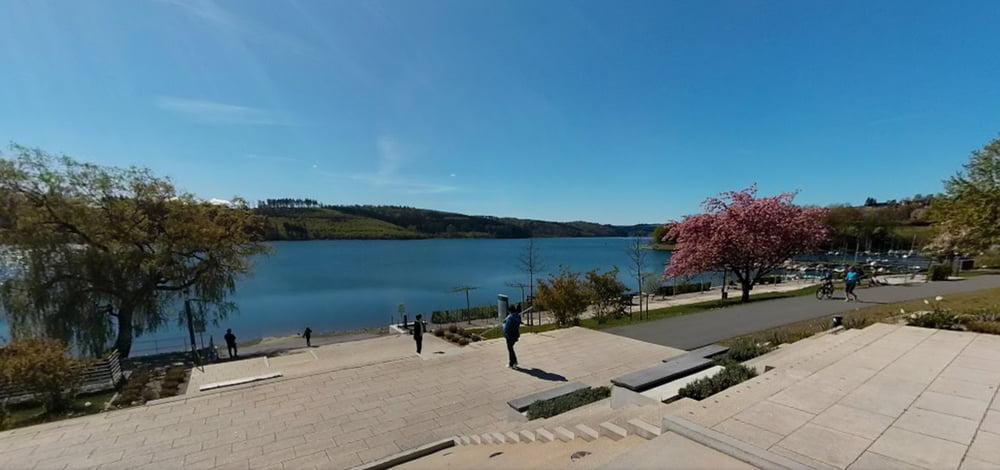
Galeria trasy

Mapa trasy i profil wysokości

  • Open Street Map
  • Google
Minimum height 316 m Maximum height 422 m Widok szczegółowy

More about the tour author

scooter-the-second
Member since 2013

Send private message

Komentarze

HOTEL Meile bei Langscheid am Damm !

GPS tracks

Trackpoints
  • GPX / Garmin Map Source (gpx) download
  • TCX / Garmin Training Center® (tcx) download
  • CRS / Garmin Training Center® (crs) download
  • Google Earth (kml) download
  • G7ToWin (g7t) download
  • TTQV (trk) download
  • Overlay (ovl) download
  • Fugawi (txt) download
  • Kompass (DAV) Track (tk) download
  • Karta trasy (pdf) download
  • Original file of the author (gpx) download

More about the tour author

scooter-the-second
Member since 2013

Send private message
Share track
Add to my favorites
Remove from my favorites
Edit tags
My score
Rate
Trasa: Langscheid Sorpesee kleine Feierabendrunde
Rodzaj: Rower górski (MTB)
Długość: 22,2 km
Evaluated on:
Czas trwania:
Day(s)
Hour(s)
Minute(s)
Ocena: Krajobraz Czynnik zadowolenia Kondycja Technika