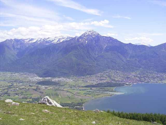
Easy biketour for the family on the nothern end of the lago di Como (Lario).
The tour starts in Gera Lario and goes along the river Mera. Than 400m on the SS340 over the Mera bridge into the nature park "Pian di Spagna" (possibility to park the car at the bridge!). Than pass the bridge over the Adda river and go along the river to Colico (new way!). The destination of the tour is the beach of Colico.
From Colico harbour is the bike passage to Domaso or Gravedona possible (but the traffic on the SS340 makes no fun).
From the Adda bridge to Morbegno there is a high quality carless bike highway that also could be used by roller-scaters.
At the tourist office (i.g. head quater Domaso) you can buy the excellent map "Alto Lario" 1:35.000 (or ISBN 88-900896-2-8 6,20Euro).
Galeria trasy
Mapa trasy i profil wysokości
Minimum height 197 m
Maximum height 211 m
Komentarze
Gera Lario is positioned on the north end of the Lago di Como.
From Chur coming go direction San Bernardino, at Splügen go right to passo de Splügen and from there to the lago di Como (Lario). Here right direction to Lugano (not Lecco).
From Chur coming go direction San Bernardino, at Splügen go right to passo de Splügen and from there to the lago di Como (Lario). Here right direction to Lugano (not Lecco).
GPS tracks
Trackpoints-
GPX / Garmin Map Source (gpx) download
-
TCX / Garmin Training Center® (tcx) download
-
CRS / Garmin Training Center® (crs) download
-
Google Earth (kml) download
-
G7ToWin (g7t) download
-
TTQV (trk) download
-
Overlay (ovl) download
-
Fugawi (txt) download
-
Kompass (DAV) Track (tk) download
-
Karta trasy (pdf) download
-
Original file of the author (gpx) download
Add to my favorites
Remove from my favorites
Edit tags
Open track
My score
Rate


Adda-Radweg