


Wanderung von Millrütte auf die Hohe Kugel Millrütte kann mit Auto oder Bus (Stundentakt) Rad oder zu Fuß von Götzis erreicht werden.
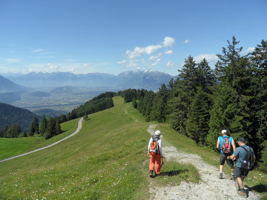
Der Aufstieg geht über Wäder und Wiesen recht steil hinauf. Im Wald sind viele Wurzeln, so daß man trittsicher sein sollte.
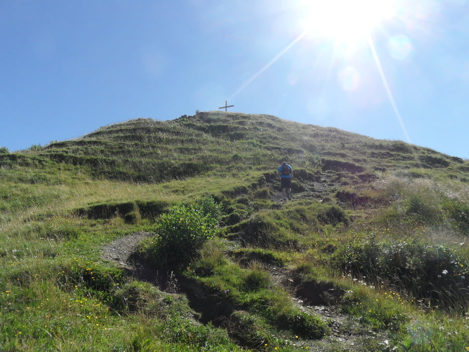
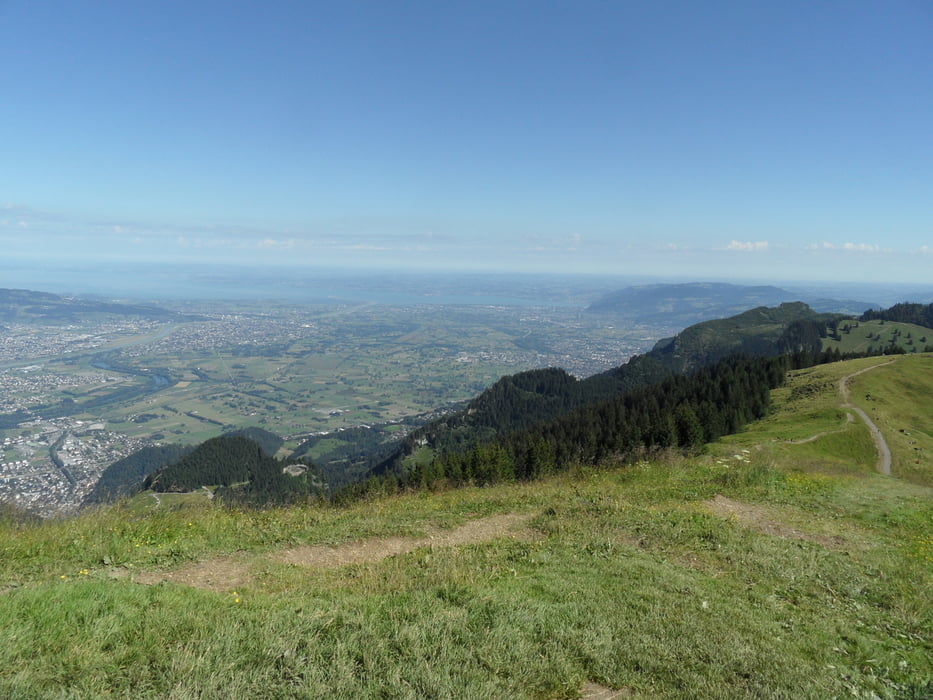
Die Hohe Kugel hat einen tollen Rundblick vom Bodensee, Pänder, Nagelfluhkette, Niedere, Kanisfluh, Mittagsspitze, Hoher Blanken, Ragatzerblanken, Sünsespitze, Hoher Freschen, Matona, Laterns, Drei Schwestern, Grabs, Säntis, Hoher Kasten, ....
Unterhalb des Gipfels ist die Kugelalpe.
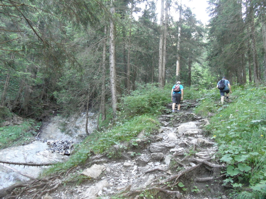
Der Abstieg geht Richtung Fraxern über die Alpe und einen Steig (10m auf 30cm breitem Weg) zurück nach Millrütte.
Einkehr am Götzner Berghaus oder am Restaurant dahinter (Tourstart). Kugelalpe ist nahezu immer auf, Alpe Maisäss nur in der Weidezeit (Anfang und Ende)
Galeria trasy
Mapa trasy i profil wysokości
Minimum height 491 m
Maximum height 1645 m
More about the tour author
|
|
skyhopper |
Komentarze

Anfahrt über Götzis Richtung Abogast, dann Richtung Schwimmbad und weiter bis Millrütte. Die Strasse ist geteert aber recht schmal.
GPS tracks
Trackpoints-
GPX / Garmin Map Source (gpx) download
-
TCX / Garmin Training Center® (tcx) download
-
CRS / Garmin Training Center® (crs) download
-
Google Earth (kml) download
-
G7ToWin (g7t) download
-
TTQV (trk) download
-
Overlay (ovl) download
-
Fugawi (txt) download
-
Kompass (DAV) Track (tk) download
-
Karta trasy (pdf) download
-
Original file of the author (gpx) download
More about the tour author
|
|
skyhopper |
Add to my favorites
Remove from my favorites
Edit tags
Open track
My score
Rate