Login

Zapomniałeś swój login?

Cookies have to be accepted!
Your browser's cookie functionality is disabled. Please enable this functionality.

Not a member yet?

Register now
Login

Available for registred users only

Log in to use this feature.

Zapomniałeś swój login?

Cookies have to be accepted!
Your browser's cookie functionality is disabled. Please enable this functionality.

Not a member yet?

Register now
Filter
Kategorie
Advanced filters
  • Długość (km)
  • Wysokość
Zapisz filtr Reset filter

TrackRank

QRCode

Technical data

Długość17,2 km Wysokość737 m Way down765 m Czas trwania03:27 h:m Data03.08.2016
Oceny Author Krajobraz Czynnik zadowolenia Kondycja Technika

Statystyka

283 Widoki Oceny 73 Downloads / Pliki do pobrania Przeciętnie
Rate
  • Karta trasy
  • Dojazd
  • Downloads / Pliki do pobrania

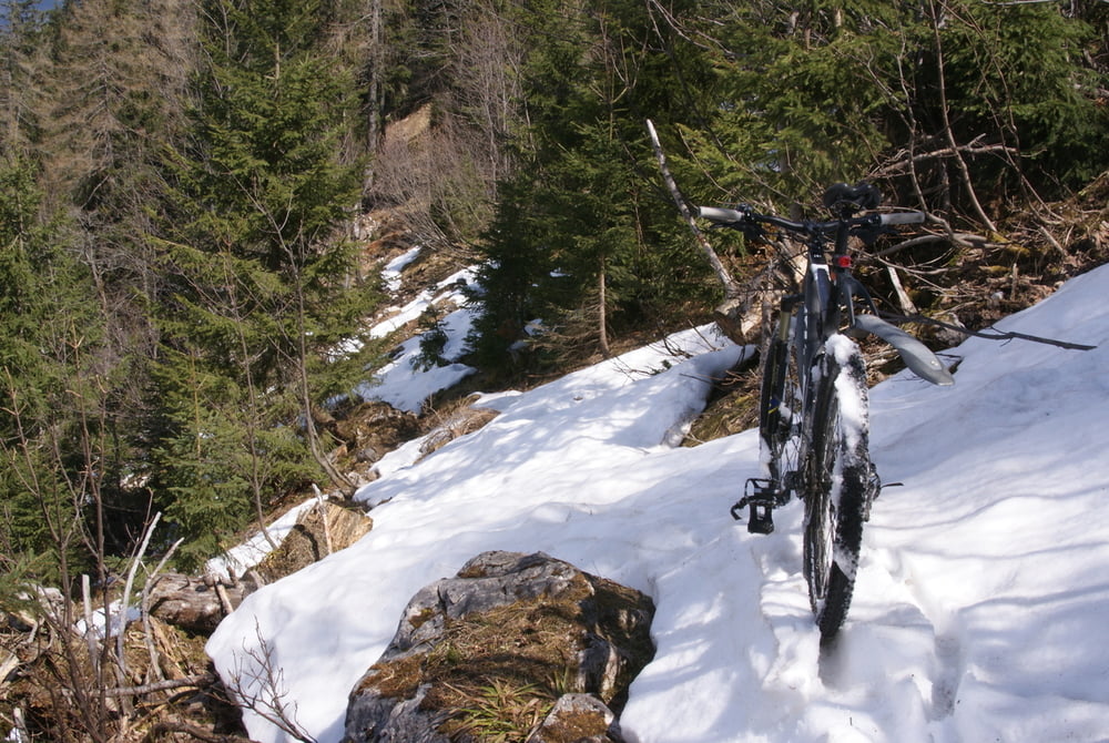
Nette Radtour für ein paar Stunden. Wie der Titel schon sagt, bei der Abfahrt großteils Passagen bei denen man das Rad schieben oder tragen muss. Dafür ist es aber recht abenteuerlich.

Ich habe geschrieben abenteuerlich, nicht sportlich.

Technik anspruchsvoll je nach dem wie viel man sich zu faren traut.

Mir hat es gefallen!

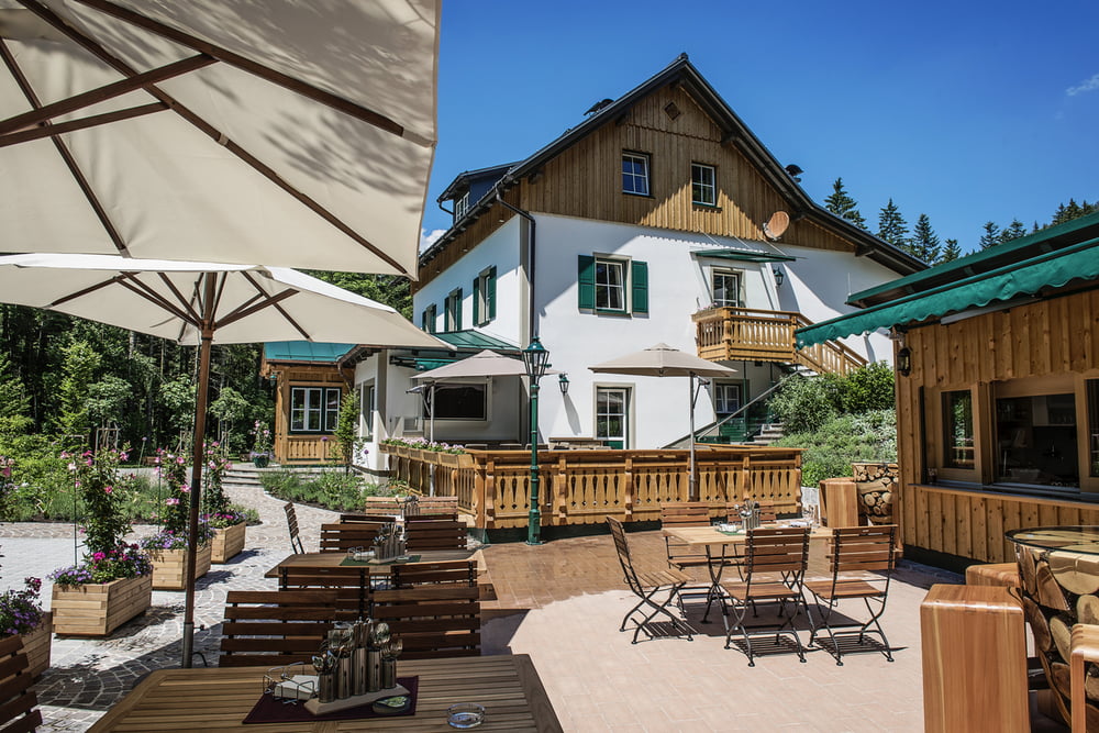
Am Schluss die Erfrischung in der Einkehr der Waldruhe hat sich auf alle Fälle gelohnt.
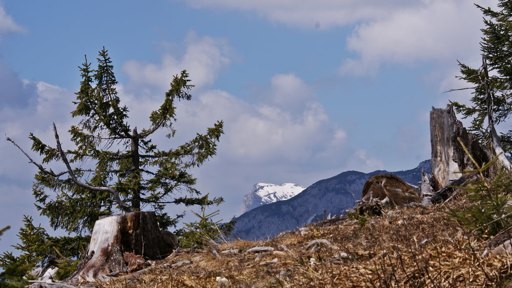
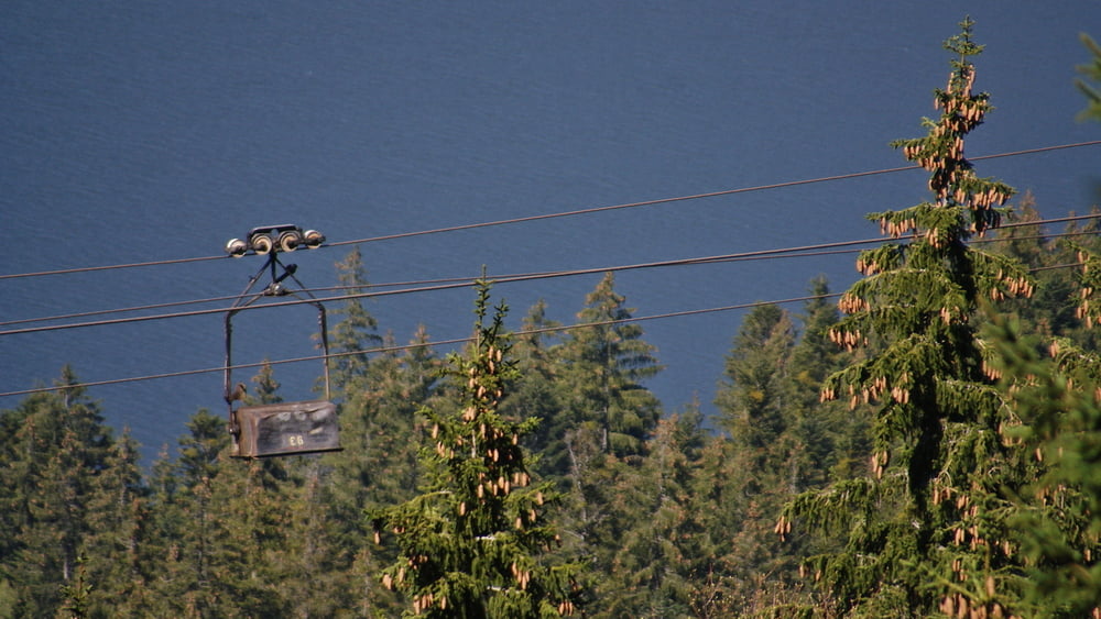
Galeria trasy

Mapa trasy i profil wysokości

  • Open Street Map
  • Google
Minimum height 743 m Maximum height 1492 m Widok szczegółowy

More about the tour author

naishgps
Member since 2016

Send private message

Komentarze

GPS tracks

Trackpoints
  • GPX / Garmin Map Source (gpx) download
  • TCX / Garmin Training Center® (tcx) download
  • CRS / Garmin Training Center® (crs) download
  • Google Earth (kml) download
  • G7ToWin (g7t) download
  • TTQV (trk) download
  • Overlay (ovl) download
  • Fugawi (txt) download
  • Kompass (DAV) Track (tk) download
  • Karta trasy (pdf) download
  • Original file of the author (gpx) download

More about the tour author

naishgps
Member since 2016

Send private message
Share track
Add to my favorites
Remove from my favorites
Edit tags
My score
Rate
Trasa: Weißenbachtal und das Fahrrad wieder runter tragen
Rodzaj: Rower górski (MTB)
Długość: 17,2 km
Evaluated on:
Czas trwania:
Day(s)
Hour(s)
Minute(s)
Ocena: Krajobraz Czynnik zadowolenia Kondycja Technika