Login

Zapomniałeś swój login?

Cookies have to be accepted!
Your browser's cookie functionality is disabled. Please enable this functionality.

Not a member yet?

Register now
Login

Available for registred users only

Log in to use this feature.

Zapomniałeś swój login?

Cookies have to be accepted!
Your browser's cookie functionality is disabled. Please enable this functionality.

Not a member yet?

Register now
Filter
Kategorie
Advanced filters
  • Długość (km)
  • Wysokość
Zapisz filtr Reset filter

TrackRank

QRCode

Technical data

Długość28,8 km Wysokość209 m Way down209 m Czas trwania03:00 h:m Data05.08.2016
Oceny Author Krajobraz Czynnik zadowolenia Kondycja Technika

Statystyka

149 Widoki Oceny 4 Downloads / Pliki do pobrania Przeciętnie
Rate
  • Karta trasy
  • Dojazd
  • Downloads / Pliki do pobrania

Von Wald bis Strasse, von Flach bis Bergig entlang schöner Ortschaften.

Die Runde bietet alles für einen angenehmen Tagesausflug mit der Familie oder eine sportliche Runde mal zwischen durch.

Reichlich Einkehrmöglichkeiten sind vorhanden.

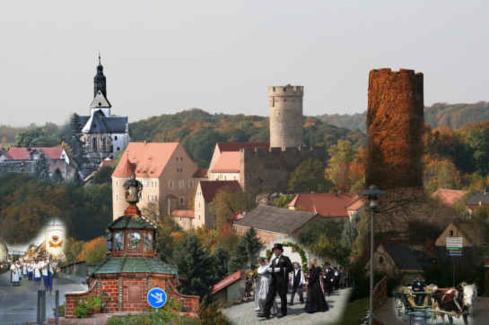
Sehenswert: Burg Gnandstein, Irrgarten der Sinne im Lindenvorwerk, Töpferstadt Kohrensahlis.


Galeria trasy

Mapa trasy i profil wysokości

  • Open Street Map
  • Google
Minimum height 170 m Maximum height 258 m Widok szczegółowy

More about the tour author

Sebus1981
Member since 2016

Send private message

Komentarze

GPS tracks

Trackpoints
  • GPX / Garmin Map Source (gpx) download
  • TCX / Garmin Training Center® (tcx) download
  • CRS / Garmin Training Center® (crs) download
  • Google Earth (kml) download
  • G7ToWin (g7t) download
  • TTQV (trk) download
  • Overlay (ovl) download
  • Fugawi (txt) download
  • Kompass (DAV) Track (tk) download
  • Karta trasy (pdf) download
  • Original file of the author (gpx) download

More about the tour author

Sebus1981
Member since 2016

Send private message
Share track
Add to my favorites
Remove from my favorites
Edit tags
My score
Rate
Trasa: Nobitz / Kohrener Land - Männertagsrunde
Rodzaj: Rower trekkingowy
Długość: 28,8 km
Evaluated on:
Czas trwania:
Day(s)
Hour(s)
Minute(s)
Ocena: Krajobraz Czynnik zadowolenia Kondycja Technika