


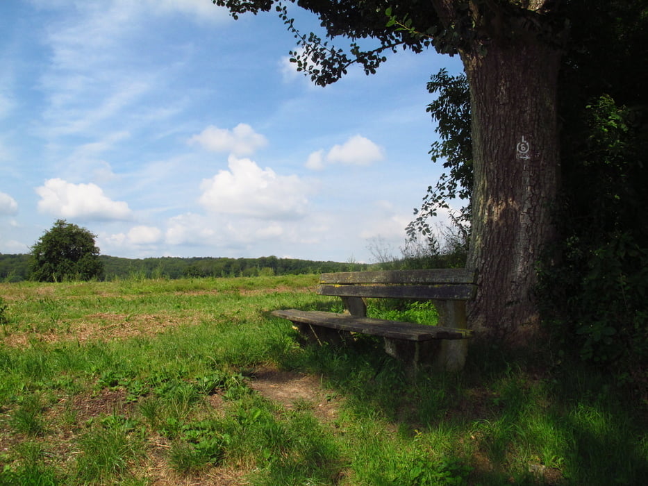
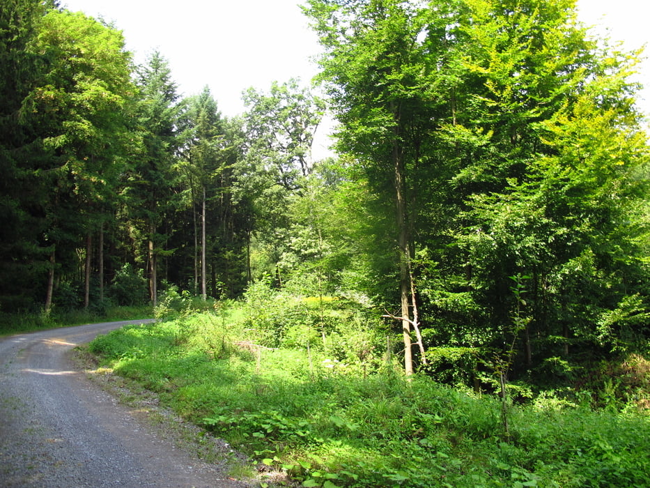
Dies ist einer von sechs gekennzeichneten Rundwegen die in Leimen vor dem Rathaus beginnen. Der Weg ist gut gekennzeichnet und gut befestigt.Für den Aufstieg habe ich den L5 gewählt der nach 2,5 km den L 6 trifft. Die meisten Kilometer sind geteert. Die Waldwege sind breite Forstwirtschaftswege. Nur ein kurzes Stück am Ende dicht bei Leimen führt auf einen unbefestigten Weg durch den Wald. Die Weinberge, der Wald und die Felder auf dem Weg bieten ein schönes Naturerlebnis. In unregelmäßigen Abständen sind Bänke zum Pausieren aufgestellt. Am Naturfreundehaus (Restaurant) in Leimen gibt es einen Spielplatz im Wald. In Gauangeloch lieget das Restaurant "Zum Schwanen" und die Besenstube "Eulenberghof" direkt am Wanderweg. In Ochsenbach gibt es die Hubertus Stube als Einkehr Möglichkeit.
Galeria trasy


Mapa trasy i profil wysokości
Minimum height 113 m
Maximum height 328 m
More about the tour author
|
|
Hastati |
Komentarze

GPS tracks
Trackpoints-
GPX / Garmin Map Source (gpx) download
-
TCX / Garmin Training Center® (tcx) download
-
CRS / Garmin Training Center® (crs) download
-
Google Earth (kml) download
-
G7ToWin (g7t) download
-
TTQV (trk) download
-
Overlay (ovl) download
-
Fugawi (txt) download
-
Kompass (DAV) Track (tk) download
-
Karta trasy (pdf) download
-
Original file of the author (gpx) download
More about the tour author
|
|
Hastati |
Add to my favorites
Remove from my favorites
Edit tags
Open track
My score
Rate