Login

Zapomniałeś swój login?

Cookies have to be accepted!
Your browser's cookie functionality is disabled. Please enable this functionality.

Not a member yet?

Register now
Login

Available for registred users only

Log in to use this feature.

Zapomniałeś swój login?

Cookies have to be accepted!
Your browser's cookie functionality is disabled. Please enable this functionality.

Not a member yet?

Register now
Filter
Kategorie
Advanced filters
  • Długość (km)
  • Wysokość
Zapisz filtr Reset filter

TrackRank

QRCode

Technical data

Długość41,4 km Wysokość335 m Way down309 m Czas trwania00:00 h:m Data11.08.2016
Oceny Author Krajobraz Czynnik zadowolenia Kondycja Technika

Statystyka

793 Widoki Oceny 94 Downloads / Pliki do pobrania Przeciętnie
Rate
  • Karta trasy
  • Dojazd
  • Downloads / Pliki do pobrania

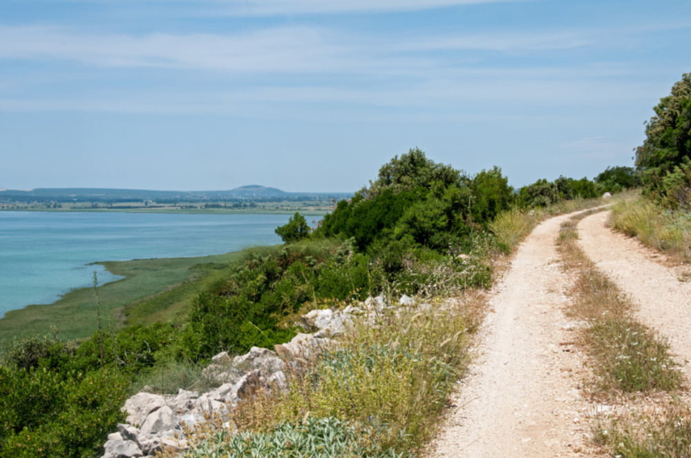
Mit dem Bike in den Naturpark Vransko jezero, einmal um den Vrana-See.
Der Vrana-See ist der größte See Kroatiens und liegt in Dalmatien zwischen den Städten Zadar und Šibenik.


Galeria trasy

Mapa trasy i profil wysokości

  • Open Street Map
  • Google
Minimum height -6 m Maximum height 97 m Widok szczegółowy

More about the tour author

Womotour
Member since 2016

Send private message

Komentarze

Start und Ziel ist die kleine Gemeinde Pakostane.


GPS tracks

Trackpoints
  • GPX / Garmin Map Source (gpx) download
  • TCX / Garmin Training Center® (tcx) download
  • CRS / Garmin Training Center® (crs) download
  • Google Earth (kml) download
  • G7ToWin (g7t) download
  • TTQV (trk) download
  • Overlay (ovl) download
  • Fugawi (txt) download
  • Kompass (DAV) Track (tk) download
  • Karta trasy (pdf) download
  • Original file of the author (gpx) download

More about the tour author

Womotour
Member since 2016

Send private message
Share track
Add to my favorites
Remove from my favorites
Edit tags
My score
Rate
Trasa: Naturpark Vransko jezero
Rodzaj: Rower górski (MTB)
Długość: 41,4 km
Evaluated on:
Czas trwania:
Day(s)
Hour(s)
Minute(s)
Ocena: Krajobraz Czynnik zadowolenia Kondycja Technika