


Hieflau-Gams-Gasteigerweg-Lackneralm-Moaraalm-Grossegg-
Lassnig-Göstling an der Ybbs-Lunz am See-Maierhöfen-
Lackenhof-Raneck-Trübenbach-Reith-Sägemühle
Ohne große Bergwertung 2746hm auf 104km! Sehr schöne Tour obwohl am Vormittag immer wieder Regenschauer durchzogen.
Gasteigerweg ist großteils ein single trail, der durchaus fahrbar wäre, wenn es nicht gerade schüttet…
Insgesamt sehr angenehme Steigungen.
Nach der Moaraalm hat mich ein NÖ-Ordnungshüter auf ein Fahrverbot aufmerksam gemacht. Ich hab dann zunächst eine offizielle MTB Route gewählt (Gamsrunde neu) und dabei hätte ich wohl bleiben sollen…
So musste ich einiges bergab schieben, ca halbe Stunde auf Wegen, die ich nicht auf der Karte hatte, um später auf meinem track wieder auf die "gamstour neu" zu stoßen..
Quartier: Gh Schachinger NF 36€, sehr gut!
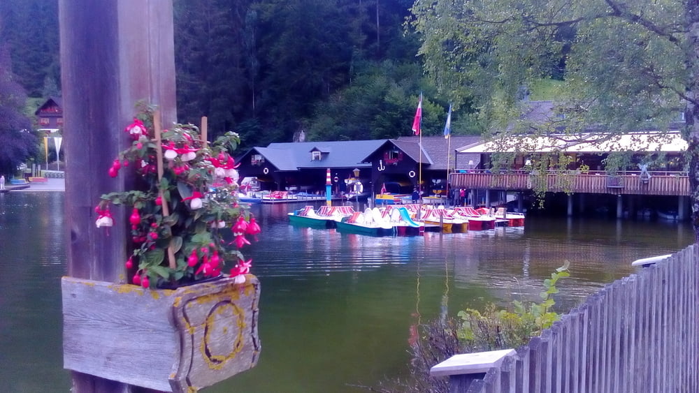
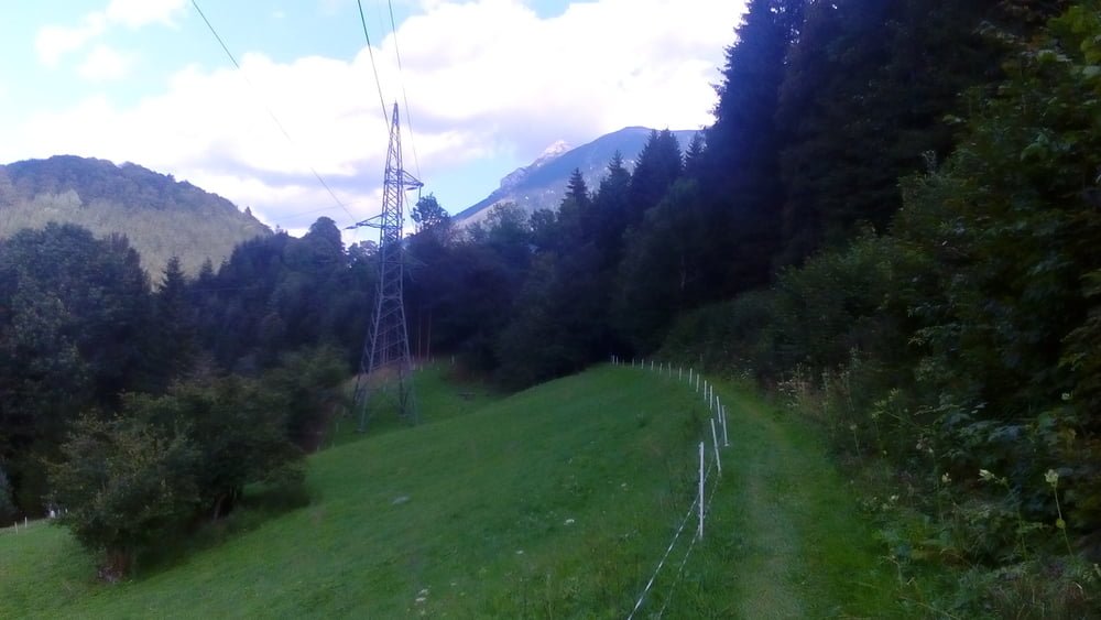
Galeria trasy


Mapa trasy i profil wysokości
Minimum height 444 m
Maximum height 1172 m
More about the tour author
|
|
mitter |
Komentarze

Start in Hieflau beim Hotel International.
GPS tracks
Trackpoints-
GPX / Garmin Map Source (gpx) download
-
TCX / Garmin Training Center® (tcx) download
-
CRS / Garmin Training Center® (crs) download
-
Google Earth (kml) download
-
G7ToWin (g7t) download
-
TTQV (trk) download
-
Overlay (ovl) download
-
Fugawi (txt) download
-
Kompass (DAV) Track (tk) download
-
Karta trasy (pdf) download
-
Original file of the author (gpx) download
More about the tour author
|
|
mitter |
Add to my favorites
Remove from my favorites
Edit tags
Open track
My score
Rate