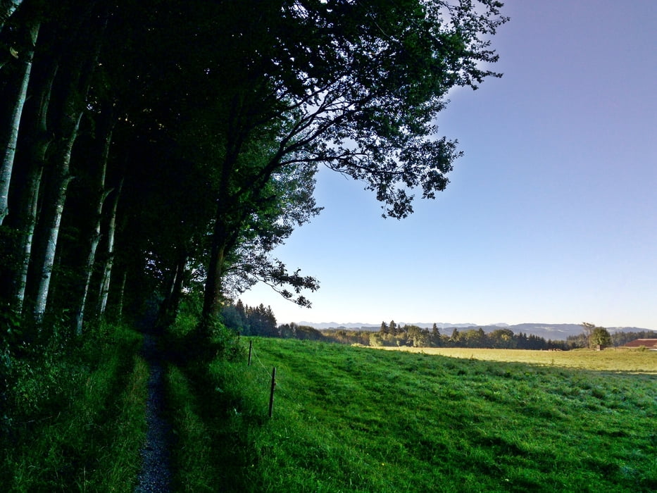
Die schöne mittelschwere MTB-Tour 2015 stammt von der Rad-Union Wangen. Den Start habe ich zum Parkplatz P14 verlegt.
Manche Trails sind so versteckt, dass ich die Einfahrt suchen musste. Deshalb habe ich in der Karte Wegzeichen gesetzt. Letzter Zeit hat es viel geregnet und die Wege sind teilweise vermatscht, dennoch fahrbar. Tolle Tour!
Further information at
http://ru-wangen.de/Galeria trasy
Mapa trasy i profil wysokości
Komentarze

Parkplatz in Wangen P 14 bei der Gallusbrücke (Scherrichmühlweg). Das Parken ist gebührenfrei!
Dort befindet sich auch eine Radbox
http://www.wangen.de/fileadmin/editoren/pdf_verkehr/Radbox.pdf
Parkplatz - Koordinaten für dein Navigationsgerät:
N 47° 41. 235´
E 9° 50. 343´
GPS tracks
Trackpoints-
GPX / Garmin Map Source (gpx) download
-
TCX / Garmin Training Center® (tcx) download
-
CRS / Garmin Training Center® (crs) download
-
Google Earth (kml) download
-
G7ToWin (g7t) download
-
TTQV (trk) download
-
Overlay (ovl) download
-
Fugawi (txt) download
-
Kompass (DAV) Track (tk) download
-
Karta trasy (pdf) download
-
Original file of the author (gpx) download


