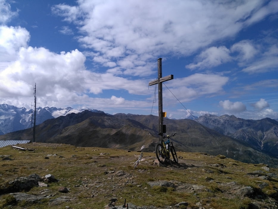
Endurotour für konditionsstarke (oder Ebike)
Auffahrt über Lichtenberger Höfe auf Straße, dann Güterweg bis kurz nach Lichtenberger Alp. Mehrere km Enduro Trail bis zur Silfser Alm (leicht bergauf). Rastmöglichkeit.
Zum Gipfel geht ein alter Militärweg, mit sehr starker Konditon fahrbar, sehr anstrengend. Mit e-bike (mit entsprechender Fahrtechnik) fahrbar.
Abfahrt auf schönem S1-S2 bis nach dem Glurnser Köpfle, dann wird es steiler und etwas schwerer. Trail bis in Tal.
Ein beeindruckender langer Trail, hat mir besser als der Goldseetrail gefallen, weitgehend menschenleer. Auch mit Goldseetrail kombinierbar (600hm ab Stilfeser Alm dazu).
Mapa trasy i profil wysokości
Komentarze

Start in Glurns
GPS tracks
Trackpoints-
GPX / Garmin Map Source (gpx) download
-
TCX / Garmin Training Center® (tcx) download
-
CRS / Garmin Training Center® (crs) download
-
Google Earth (kml) download
-
G7ToWin (g7t) download
-
TTQV (trk) download
-
Overlay (ovl) download
-
Fugawi (txt) download
-
Kompass (DAV) Track (tk) download
-
Karta trasy (pdf) download
-
Original file of the author (gpx) download

