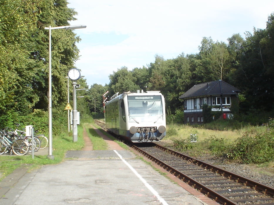
Tagestour, wobei eine kurze Verbindung durch Feld und Wald abseits der Fernstraßen gewählt wurde.
Further information at
http://www.wegberg.de/ger/index.php?location=aktuelles/index.phpMapa trasy i profil wysokości
Minimum height
Maximum height 100 m
Komentarze

Zum Start dieser Route fährst du mit dem Auto über Kaarster Autobahnkreuz, Abfahrt 18 von der A57 in Richtung Mönchengladbach und an der vierten Ampel links Richtung Vorst bis zum Parkplatz an der Wattmannstrasse. Per Bahn ist der Startpunkt mit der S 28 bis Kaarster See oder der S 8 bis S-Bahnhof Büttgen zu erreichen.
GPS tracks
Trackpoints-
GPX / Garmin Map Source (gpx) download
-
TCX / Garmin Training Center® (tcx) download
-
CRS / Garmin Training Center® (crs) download
-
Google Earth (kml) download
-
G7ToWin (g7t) download
-
TTQV (trk) download
-
Overlay (ovl) download
-
Fugawi (txt) download
-
Kompass (DAV) Track (tk) download
-
Karta trasy (pdf) download
-
Original file of the author (gpx) download
Add to my favorites
Remove from my favorites
Edit tags
Open track
My score
Rate


