
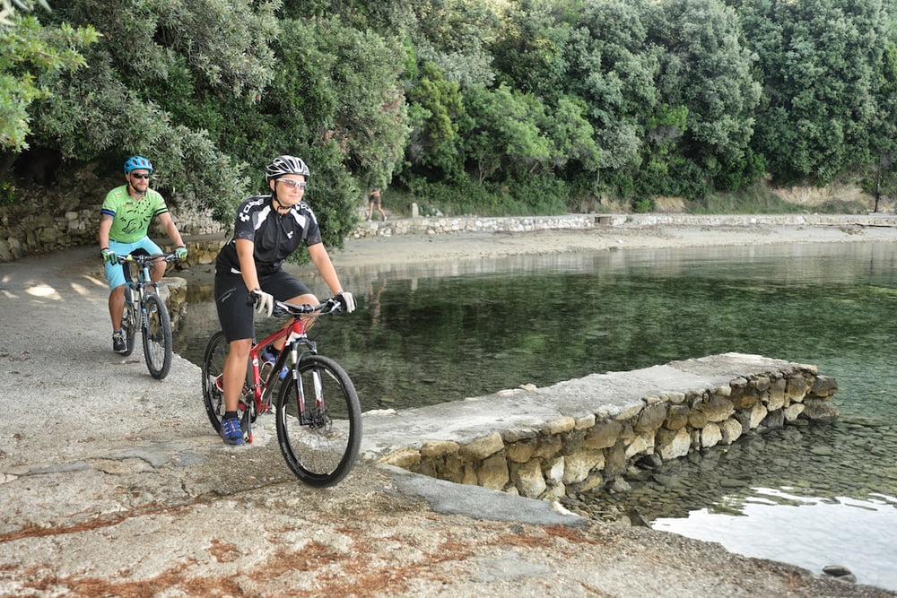

This technically undemanding trail is intended for cyclists who want to see somewhat more of the island.
With a few steep but short climbs, this trail is ideal for all cyclists-beginners who are interested in exploring and enjoying a ride throughout the island.
Riding along the coast, view over the sandy beaches and some small tourist towns on the island are some of the nicest details on this trail.
Change your routine and let yourself have this little adventure.
Ova tehnički ne zahtjevna staza namjenjena je biciklistima željnim istraživanja.
Sa nekoliko strmih ali kratkih uspona idealna je za bicikliste početnike koji biciklirajući žele otrkriti otok.
Vožnja uz more i uvid u pješčane plaže i manja turistička mjesta samo su neki od detalja sa ove vožnje.
Promjenite rutinu, odvozite stazu i poklonite si ovu malu avanturu.
Galeria trasy


Mapa trasy i profil wysokości
Minimum height -2 m
Maximum height 99 m
More about the tour author
|
|
AdriaBikeHotels |
Komentarze

GPS tracks
Trackpoints-
GPX / Garmin Map Source (gpx) download
-
TCX / Garmin Training Center® (tcx) download
-
CRS / Garmin Training Center® (crs) download
-
Google Earth (kml) download
-
G7ToWin (g7t) download
-
TTQV (trk) download
-
Overlay (ovl) download
-
Fugawi (txt) download
-
Kompass (DAV) Track (tk) download
-
Karta trasy (pdf) download
-
Original file of the author (gpx) download
More about the tour author
|
|
AdriaBikeHotels |
Add to my favorites
Remove from my favorites
Edit tags
Open track
My score
Rate