Login

Zapomniałeś swój login?

Cookies have to be accepted!
Your browser's cookie functionality is disabled. Please enable this functionality.

Not a member yet?

Register now
Login

Available for registred users only

Log in to use this feature.

Zapomniałeś swój login?

Cookies have to be accepted!
Your browser's cookie functionality is disabled. Please enable this functionality.

Not a member yet?

Register now
Filter
Kategorie
Advanced filters
  • Długość (km)
  • Wysokość
Zapisz filtr Reset filter

TrackRank

QRCode

Technical data

Długość11,6 km Wysokość387 m Way down1049 m Czas trwania03:00 h:m Data09.09.2016
Oceny Author Krajobraz Czynnik zadowolenia Kondycja Technika

Statystyka

254 Widoki Oceny 32 Downloads / Pliki do pobrania Przeciętnie
Rate
  • Karta trasy
  • Dojazd
  • Downloads / Pliki do pobrania

Liftunterstützte Wanderung am Paganella Rücken

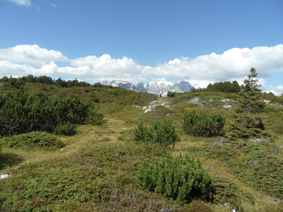
Vom Lift auf Fahrweg zu einem Wanderweg. Wanderung durch weite Heidelandschaft zum Candefin, zurück am Grat entlang.

Sehr ruhige und abgeschiedene Landschaft, nicht zu steil

Vom Vermieter die Molveno Card ausstellen lassen, dann ist Lift billiger.
Parkgebühr ist im Liftticket enthalten


Galeria trasy

Mapa trasy i profil wysokości

  • Open Street Map
  • Google
Minimum height 1072 m Maximum height 2037 m Widok szczegółowy

More about the tour author

skyhopper
Member since 2005

Send private message

Komentarze

Parken am Lift in Andalo

GPS tracks

Trackpoints
  • GPX / Garmin Map Source (gpx) download
  • TCX / Garmin Training Center® (tcx) download
  • CRS / Garmin Training Center® (crs) download
  • Google Earth (kml) download
  • G7ToWin (g7t) download
  • TTQV (trk) download
  • Overlay (ovl) download
  • Fugawi (txt) download
  • Kompass (DAV) Track (tk) download
  • Karta trasy (pdf) download
  • Original file of the author (gpx) download

More about the tour author

skyhopper
Member since 2005

Send private message
Share track
Add to my favorites
Remove from my favorites
Edit tags
My score
Rate
Trasa: Paganella Trento- Wanderung zum Candefin
Rodzaj: Wędrówki
Długość: 11,6 km
Evaluated on:
Czas trwania:
Day(s)
Hour(s)
Minute(s)
Ocena: Krajobraz Czynnik zadowolenia Kondycja Technika