
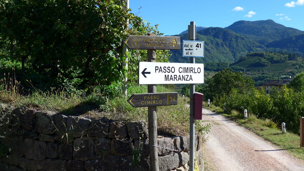

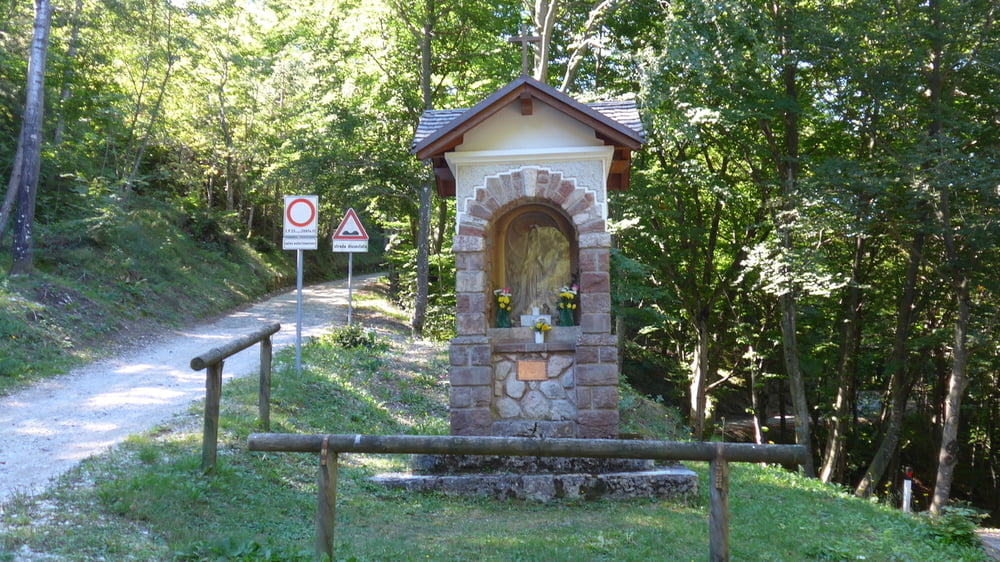
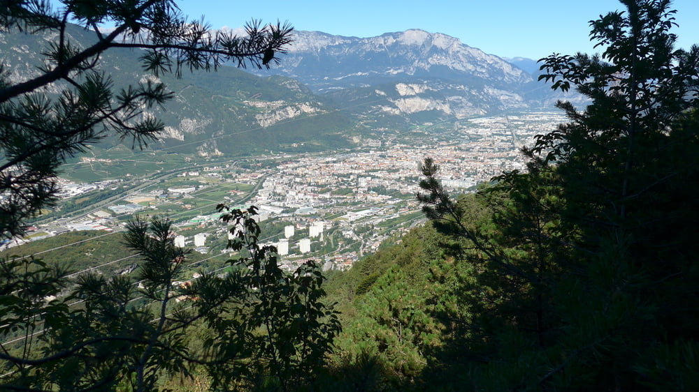
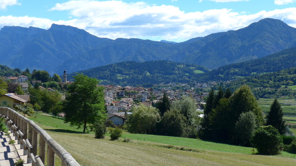
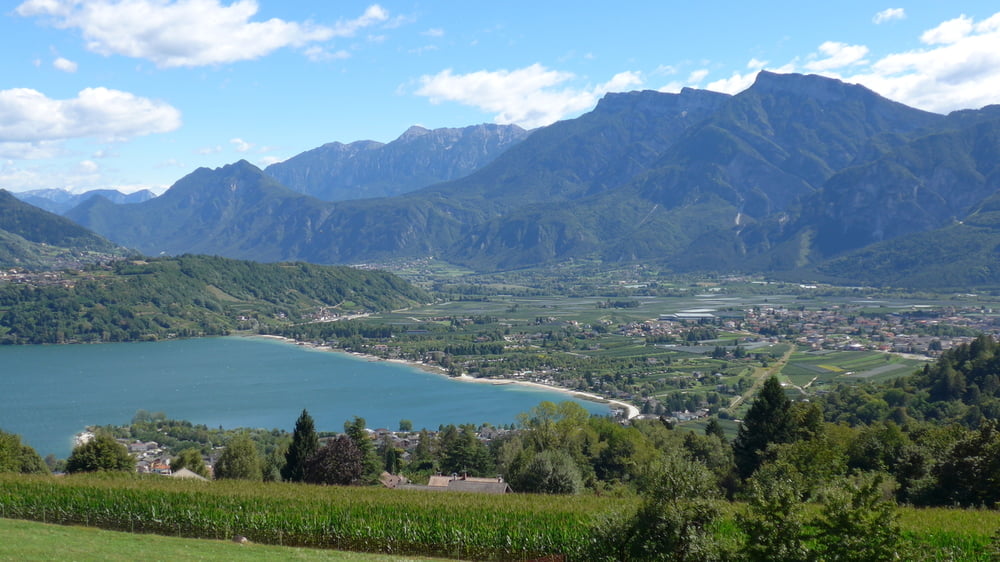
Start der Tour ist das Gasthaus in Valcanover. Auf Nebenstrassen fährt man nach Susa, Costasavina und Roncogno. Dort beginnt der schwerste Teil der Strecke, eine ca. 3 km lange Kopfsteinpassage mit bis zu 20 % Steigung. Für einen trainierten Fahren aber kein Problem. Auf 733 m Höhe erreicht man dann den Passo Cimirlo. Mäßig ansteigend geht es auf einem tollen Höhenweg entlang bis wir die Ortschaft Vigolo Vattaro erreichen. Über Bosentino und Santa Caterina geht es wieder hinab nach Valcanover am Caldonazzosee.
Galeria trasy
Mapa trasy i profil wysokości
Minimum height 411 m
Maximum height 883 m
More about the tour author
|
|
coach60 |
Komentarze

GPS tracks
Trackpoints-
GPX / Garmin Map Source (gpx) download
-
TCX / Garmin Training Center® (tcx) download
-
CRS / Garmin Training Center® (crs) download
-
Google Earth (kml) download
-
G7ToWin (g7t) download
-
TTQV (trk) download
-
Overlay (ovl) download
-
Fugawi (txt) download
-
Kompass (DAV) Track (tk) download
-
Karta trasy (pdf) download
-
Original file of the author (gpx) download
More about the tour author
|
|
coach60 |
Add to my favorites
Remove from my favorites
Edit tags
Open track
My score
Rate