


Am Morgen radelte ich auf meiner Lieblingsstrecke von Homburg Schwarzenbach nach Kirkel Neuhäusel.
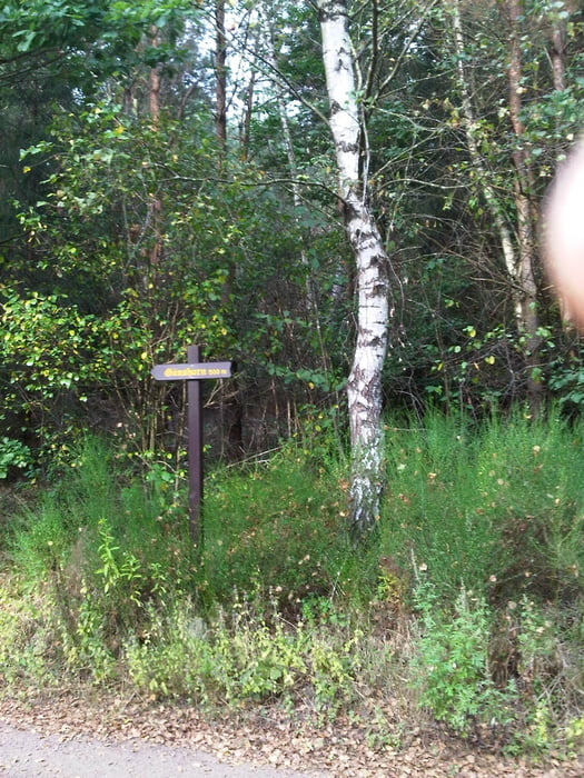
Nach meinem Tagwerk fuhr ich durch Kirkel um anschließend kurz im Kirkeler Tal auf dem Radweg zu fahren, nur um über die kleine Brücke zum Parkplatz zu gelangen. Nun fuhr ich den Forstweg in den Kirkeler Wald hoch um dann gleich wieder in Richtung Alschbach abzufahren.
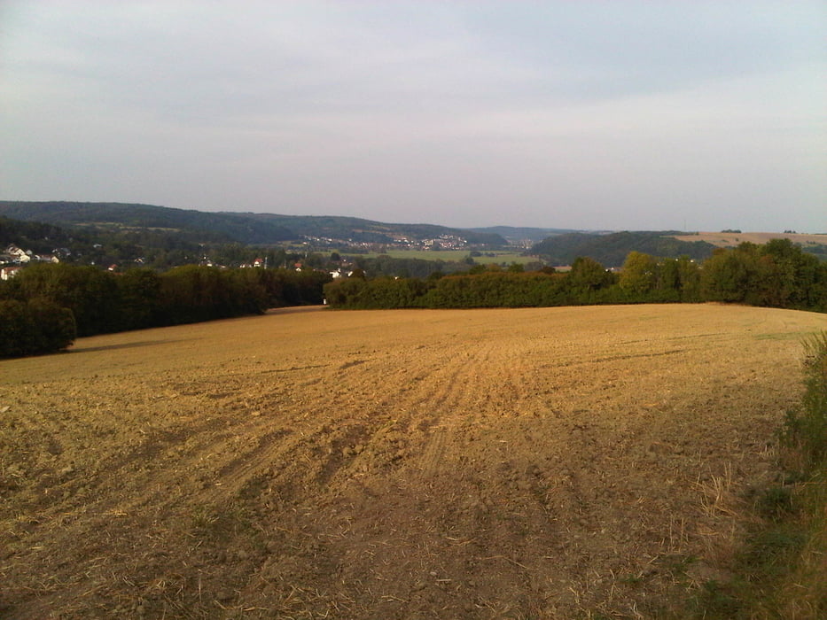
Ich radelte nach Alschbach und verfehlte den geplanten Weg, so dass ich die Wiese kurz querte um dann auf dem Feldweg zur B423 zu gelangen. Ich hielt mich links und bog zum Kommandantsberg ab um anschließend auf einem schönen, später recht rauhen Weg nach Blieskastel abzufahren.
Den restlichen Rückweg durch das Bliestal kennt mein Bike mittlerweile recht gut.
Further information at
https://de.wikipedia.org/wiki/Biosph%C3%A4renreservat_BliesgauGaleria trasy

Mapa trasy i profil wysokości
Minimum height 225 m
Maximum height 353 m
More about the tour author
|
|
Pheinz |
Komentarze

Start und Ziel in Homburg Schwarzenbach.
GPS tracks
Trackpoints-
GPX / Garmin Map Source (gpx) download
-
TCX / Garmin Training Center® (tcx) download
-
CRS / Garmin Training Center® (crs) download
-
Google Earth (kml) download
-
G7ToWin (g7t) download
-
TTQV (trk) download
-
Overlay (ovl) download
-
Fugawi (txt) download
-
Kompass (DAV) Track (tk) download
-
Karta trasy (pdf) download
-
Original file of the author (gpx) download
More about the tour author
|
|
Pheinz |
Add to my favorites
Remove from my favorites
Edit tags
Open track
My score
Rate