

Schöne Tour mit meist mäßiger Steigung zur Trattoria Santa Maria,
Auffahrt mit vernünftiger Steigung über Straße, die letzten ca. 150 hm Schotterweg, dieser ist zum Teil steil. Letztes Stück (ein paar Meter zur Trattoria) muss ggf. wegen grober Steine geschoben werden. Dafür ist das meiste nicht ganz so steil wie die Auffahrt vom See.
Abfahrt von der Trattoria nach Sulzano kann auch über die Straße gewählt werden.
Ansonsten teilweise schwerer Trail direkt ab der Trattoria bis Nestino (auch super Trattoria!), dann steiler Stein/Beton weg. Dann nicht ganz so spaßig. Ggf. ist eine Weiterfahrt über den 290er Wanderweg bis Iseo möglich??
Das nächste mal dann.
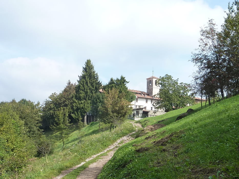
Galeria trasy


Mapa trasy i profil wysokości
Minimum height 173 m
Maximum height 959 m
More about the tour author
|
|
albmountain |
Komentarze

GPS tracks
Trackpoints-
GPX / Garmin Map Source (gpx) download
-
TCX / Garmin Training Center® (tcx) download
-
CRS / Garmin Training Center® (crs) download
-
Google Earth (kml) download
-
G7ToWin (g7t) download
-
TTQV (trk) download
-
Overlay (ovl) download
-
Fugawi (txt) download
-
Kompass (DAV) Track (tk) download
-
Karta trasy (pdf) download
-
Original file of the author (gpx) download
More about the tour author
|
|
albmountain |
Add to my favorites
Remove from my favorites
Edit tags
Open track
My score
Rate