

vom Camping Baia Verde dem Bach Alma folgen bis zu La Zinghera. Der Kiesweg steigt sanft an bis St. Lucia und wird ab hier steiler. Weiter zum Buce della Neve und noch ein Stückchen weiter zum Sasserelli-Trail. Hier hinunter nach Scarlino (S1 - S2). Nach der Burg wieder hinauf auf Kies (einige sehr steile Rampen). Dann steil hinauf zum Poggio Giardino (bisschen schieben) und dann den Kriminale-Trail (S1 - S2) wieder hinunter nach Scarlino. Von hier wieder hinauf zum Buca dellaNeve. Auf dem Weg Nr. 33 weiter zum Rock On Trail (S1 - S3). Zurück zur Strasse wie Hinfahrt.
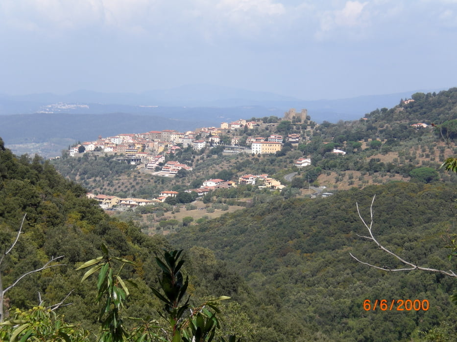
Galeria trasy

Mapa trasy i profil wysokości
Minimum height -20 m
Maximum height 544 m
More about the tour author
|
|
Fruehaufsteher |
Komentarze

GPS tracks
Trackpoints-
GPX / Garmin Map Source (gpx) download
-
TCX / Garmin Training Center® (tcx) download
-
CRS / Garmin Training Center® (crs) download
-
Google Earth (kml) download
-
G7ToWin (g7t) download
-
TTQV (trk) download
-
Overlay (ovl) download
-
Fugawi (txt) download
-
Kompass (DAV) Track (tk) download
-
Karta trasy (pdf) download
-
Original file of the author (gpx) download
More about the tour author
|
|
Fruehaufsteher |
Add to my favorites
Remove from my favorites
Edit tags
Open track
My score
Rate