
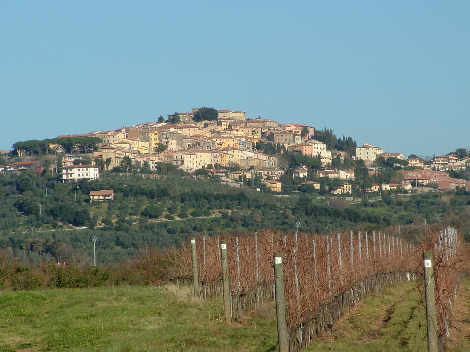

vom Camping Belmare in Marina di Catagneto über Donoratico nach Castagneto Carducci hinauf. Auf einem Wanderweg mit einigen steilen Rampen hinauf und dann auf der Höhe von Sasetta wieder hinab. Kurzes Stück auf der Strasse und dann weiter runter zur Therme Sasetta. Hier wieder hinauf und dann Richtung San Carlo. Trail zweigt dann rechts ab ins Valle delle Dispenze (S1- S2) ziemlich geröllig, ungepflegt, viele Steine und Äste. Trail kommt in einem trockenen Bachbett raus. Anfänglich kann man noch einigermassen fahren, aber später werden die Steine größer (Melonen) und ich mußte schieben. Nach gefühlten 5 km schieben endete das Bachbett in einen Weg. Ich hatte dann keine Lust mehr und fuhr auf dem Kiesweg nach San Vincenzo. Nach der Hälfte ein 2m hohes Tor, verschlossen, links und rechts hoher Maschendraht. Mußte das Bike drüberlupfen und anschliessend drüberklettern. Auf der Strasse zurück zum Camping.
Further information at
http://www.campingbelmare.it/modules/content/content.php?page=Camping-Belmare-Marina-di-Castagneto&lang=deGaleria trasy

Mapa trasy i profil wysokości
Minimum height
Maximum height 523 m
More about the tour author
|
|
Fruehaufsteher |
Komentarze

GPS tracks
Trackpoints-
GPX / Garmin Map Source (gpx) download
-
TCX / Garmin Training Center® (tcx) download
-
CRS / Garmin Training Center® (crs) download
-
Google Earth (kml) download
-
G7ToWin (g7t) download
-
TTQV (trk) download
-
Overlay (ovl) download
-
Fugawi (txt) download
-
Kompass (DAV) Track (tk) download
-
Karta trasy (pdf) download
-
Original file of the author (gpx) download
More about the tour author
|
|
Fruehaufsteher |
Add to my favorites
Remove from my favorites
Edit tags
Open track
My score
Rate