Login

Zapomniałeś swój login?

Cookies have to be accepted!
Your browser's cookie functionality is disabled. Please enable this functionality.

Not a member yet?

Register now
Login

Available for registred users only

Log in to use this feature.

Zapomniałeś swój login?

Cookies have to be accepted!
Your browser's cookie functionality is disabled. Please enable this functionality.

Not a member yet?

Register now
Filter
Kategorie
Advanced filters
  • Długość (km)
  • Wysokość
Zapisz filtr Reset filter

TrackRank

QRCode

Technical data

Długość18,6 km Wysokość488 m Way down490 m Czas trwania02:30 h:m Data02.10.2016
Oceny Author Krajobraz Czynnik zadowolenia Kondycja Technika

Statystyka

497 Widoki Oceny 156 Downloads / Pliki do pobrania Przeciętnie
Rate
  • Karta trasy
  • Dojazd
  • Downloads / Pliki do pobrania

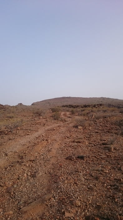
kleine Runde in die Berge hinter Playa de Ingles/ Maspalomas. Von den Dünen Maspalomas geht es zunächst nach San Fernando, ab da über zum Teil sehr steinige Wege hinauf auf eine Höhe von ca. 400m. Dabei hat man eine schöne Aussicht zum Strand oder sieht die Behausungen der „ Höhlenmenschen“. Zurück vorbei am kleinen Stausee kann man es ordentlich krachen lassen.


Galeria trasy

Mapa trasy i profil wysokości

  • Open Street Map
  • Google
Minimum height 18 m Maximum height 401 m Widok szczegółowy

More about the tour author

RobTour
Member since 2012

Send private message

Komentarze

GPS tracks

Trackpoints
  • GPX / Garmin Map Source (gpx) download
  • TCX / Garmin Training Center® (tcx) download
  • CRS / Garmin Training Center® (crs) download
  • Google Earth (kml) download
  • G7ToWin (g7t) download
  • TTQV (trk) download
  • Overlay (ovl) download
  • Fugawi (txt) download
  • Kompass (DAV) Track (tk) download
  • Karta trasy (pdf) download
  • Original file of the author (gpx) download

More about the tour author

RobTour
Member since 2012

Send private message
Share track
Add to my favorites
Remove from my favorites
Edit tags
My score
Rate
Trasa: Gran Canaria-St.Fernando
Rodzaj: Rower górski (MTB)
Długość: 18,6 km
Evaluated on:
Czas trwania:
Day(s)
Hour(s)
Minute(s)
Ocena: Krajobraz Czynnik zadowolenia Kondycja Technika