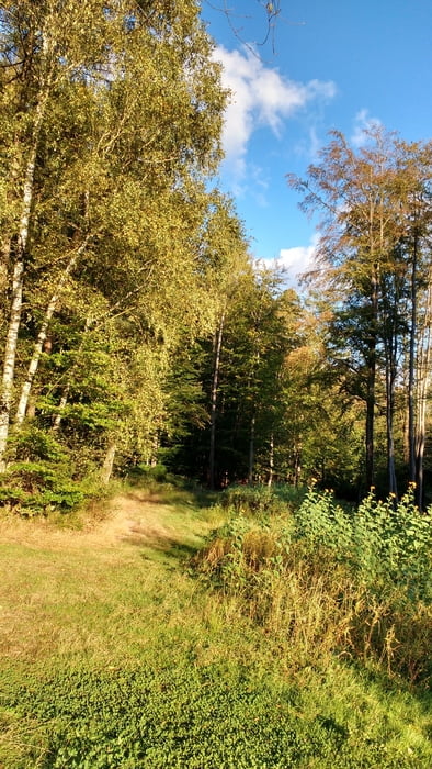
Am Morgen fuhr ich auf dem schnellsten Weg von Homburg Schwarzenbach nach Kirkel Neuhäusel.
Am Abend überquerte ich die Autobahn und suchte mir einen schönen Weg durch den Wald nach Bayerisch Kohlhof. Hinter Limbach bog ich in den Radweg im Bliestal ein und erreichte den Ausgangspunkt nachdem ich das Beeder Biotop und Beeden tangiert hatte.
Am Abend überquerte ich die Autobahn und suchte mir einen schönen Weg durch den Wald nach Bayerisch Kohlhof. Hinter Limbach bog ich in den Radweg im Bliestal ein und erreichte den Ausgangspunkt nachdem ich das Beeder Biotop und Beeden tangiert hatte.
Further information at
https://www.saarpfalz-touristik.de/Media/Attraktionen/Biotop-BeedenGaleria trasy
Mapa trasy i profil wysokości
Minimum height 228 m
Maximum height 324 m
Komentarze

Start und Ziel in Homburg Schwarzenbach.
GPS tracks
Trackpoints-
GPX / Garmin Map Source (gpx) download
-
TCX / Garmin Training Center® (tcx) download
-
CRS / Garmin Training Center® (crs) download
-
Google Earth (kml) download
-
G7ToWin (g7t) download
-
TTQV (trk) download
-
Overlay (ovl) download
-
Fugawi (txt) download
-
Kompass (DAV) Track (tk) download
-
Karta trasy (pdf) download
-
Original file of the author (gpx) download
Add to my favorites
Remove from my favorites
Edit tags
Open track
My score
Rate


