Ich radelte am Morgen von Homburg Schwarzenbach auf meiner Lieblingsstrecke in das Büro nach Kirkel Neuhäusel.
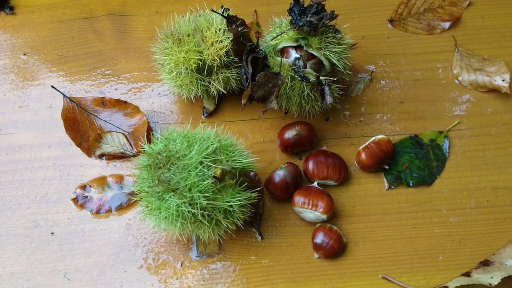
Am Abend verließ ich Neuhäusel um im nahen Wald nach Edelkastanien zu suchen. Ich wurde fündig und überquerte anschließend eine gesperrte Brücke über die Autobahn. Nun fuhr ich auf teil misen Wegen durch den Staatsforst Blieskastel weil mein Wunschweg leider gesperrt war.
Über Bayerisch Kohlhof, Kirkel Limbach und Beeden erreichte ich meinen Ausgangspunkt wieder.
Further information at
http://www.kirkel.eu/rathausonline/verwaltung/index.phpGaleria trasy
Mapa trasy i profil wysokości
Minimum height 226 m
Maximum height 330 m
Komentarze

Start und Ziel in Homburg Schwarzenbach.
GPS tracks
Trackpoints-
GPX / Garmin Map Source (gpx) download
-
TCX / Garmin Training Center® (tcx) download
-
CRS / Garmin Training Center® (crs) download
-
Google Earth (kml) download
-
G7ToWin (g7t) download
-
TTQV (trk) download
-
Overlay (ovl) download
-
Fugawi (txt) download
-
Kompass (DAV) Track (tk) download
-
Karta trasy (pdf) download
-
Original file of the author (gpx) download
Add to my favorites
Remove from my favorites
Edit tags
Open track
My score
Rate


