


Parken bei:
N47° 56' 19.3" E16° 09' 30.6"
in einer kleinen Sackgasse.
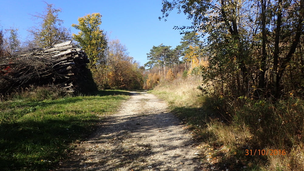
Wenn man Ruhe und Erholung sucht, dann ist man mit dieser kleinen Runde in St. Veit bei Berndorf genau richtig.
Es sind wenig bis fast keine Spaziergänger unterwegs und man hat den Wald "für sich alleine".
Galeria trasy


Mapa trasy i profil wysokości
Minimum height 283 m
Maximum height 341 m
More about the tour author
|
|
elifo |
Komentarze

Die Stadt Berndorf liegt 45 km südlich von Wien in Niederösterreich, inmitten von Föhrenwäldern des südlichen Wienerwaldes an der Thermenregion.
Die Abfahrt erfolgt über die A2, Abfahrt Leobersdorf. Man hält sich dann Richtung Berndorf/Hirtenberg
In Hirtenberg angekommen - rechts eine Abzweigung nach St. Veit an der Triesting
GPS tracks
Trackpoints-
GPX / Garmin Map Source (gpx) download
-
TCX / Garmin Training Center® (tcx) download
-
CRS / Garmin Training Center® (crs) download
-
Google Earth (kml) download
-
G7ToWin (g7t) download
-
TTQV (trk) download
-
Overlay (ovl) download
-
Fugawi (txt) download
-
Kompass (DAV) Track (tk) download
-
Karta trasy (pdf) download
-
Original file of the author (gpx) download
More about the tour author
|
|
elifo |
Add to my favorites
Remove from my favorites
Edit tags
Open track
My score
Rate