

- Rundkurs im Uhrzeigersinn
- Start/Ziel: Algund (MH 362), Parkplatz Freibad.
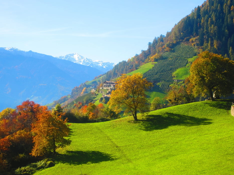
- Auf dem Vinschgauradweg auf die Töll. Weiter nach Rabland. Auf Nebenwegen nach Partschins. Ab dem Dorfzentrum von Partschins (KM 8,8 - MH 659) bis( KM 10,2 - MH 870) auf Asphalt, grösstenteils sehr steil, richtung Greiterhof. Ab KM 10,2 angenehm bis mittelsteil ansteigend, bis zu Gasthof "Greiter" (KM 15,6 - MH 1.365). Dienstag Ruhetag. Auf dem selben Weg zurück nach Partschins. Auf Feld-, bzw. Nebenwegen über Oberplars zurück zum Ausgangspunkt nach Algund.
Galeria trasy


Mapa trasy i profil wysokości
Minimum height 358 m
Maximum height 1382 m
More about the tour author
|
|
MargesinFriedrich |
Komentarze

GPS tracks
Trackpoints-
GPX / Garmin Map Source (gpx) download
-
TCX / Garmin Training Center® (tcx) download
-
CRS / Garmin Training Center® (crs) download
-
Google Earth (kml) download
-
G7ToWin (g7t) download
-
TTQV (trk) download
-
Overlay (ovl) download
-
Fugawi (txt) download
-
Kompass (DAV) Track (tk) download
-
Karta trasy (pdf) download
-
Original file of the author (gpx) download
More about the tour author
|
|
MargesinFriedrich |
Add to my favorites
Remove from my favorites
Edit tags
Open track
My score
Rate