Login

Zapomniałeś swój login?

Cookies have to be accepted!
Your browser's cookie functionality is disabled. Please enable this functionality.

Not a member yet?

Register now
Login

Available for registred users only

Log in to use this feature.

Zapomniałeś swój login?

Cookies have to be accepted!
Your browser's cookie functionality is disabled. Please enable this functionality.

Not a member yet?

Register now
Filter
Kategorie
Advanced filters
  • Długość (km)
  • Wysokość
Zapisz filtr Reset filter

TrackRank

QRCode

Technical data

Długość10,4 km Wysokość219 m Way down226 m Czas trwania02:30 h:m Data27.11.2016
Oceny Author Krajobraz Czynnik zadowolenia Kondycja Technika

Statystyka

485 Widoki Oceny 25 Downloads / Pliki do pobrania Przeciętnie
Rate
  • Karta trasy
  • Dojazd
  • Downloads / Pliki do pobrania

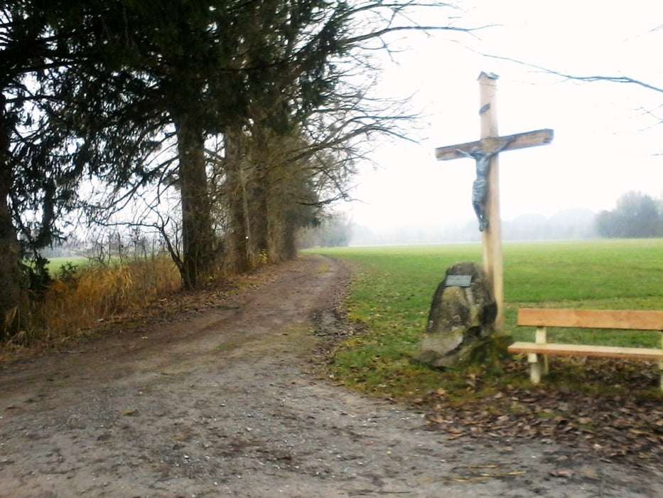
Ab Ortsmitte Amtzell wandern wir zum Ursprung der Haslach. Hier fliessen die Rohne und der Eggenbach zur Haslach. Weiter über Spiesberg und Reibeisenmühle entlang der Rohne kommen wir zum Kapellenberg nach Amtzell.


Further information at

https://www.amtzell.de

Galeria trasy

Mapa trasy i profil wysokości

  • Open Street Map
  • Google
Minimum height 524 m Maximum height 656 m Widok szczegółowy

More about the tour author

Bockrider
Member since 2007

Send private message

Komentarze

Auf der B32 Ravensburg Wangen nach Amtzell. Parken in Ortsmitte (kostenlos) Öffentlicher Parkplatz.


GPS tracks

Trackpoints
  • GPX / Garmin Map Source (gpx) download
  • TCX / Garmin Training Center® (tcx) download
  • CRS / Garmin Training Center® (crs) download
  • Google Earth (kml) download
  • G7ToWin (g7t) download
  • TTQV (trk) download
  • Overlay (ovl) download
  • Fugawi (txt) download
  • Kompass (DAV) Track (tk) download
  • Karta trasy (pdf) download
  • Original file of the author (gpx) download

More about the tour author

Bockrider
Member since 2007

Send private message
Share track
Add to my favorites
Remove from my favorites
Edit tags
My score
Rate
Trasa: Tor zum Allgäu
Rodzaj: Wędrówki
Długość: 10,4 km
Evaluated on:
Czas trwania:
Day(s)
Hour(s)
Minute(s)
Ocena: Krajobraz Czynnik zadowolenia Kondycja Technika