
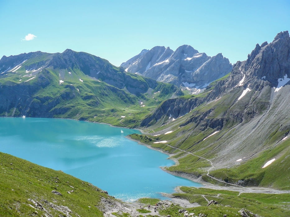

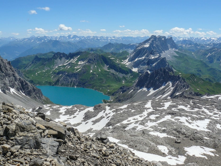
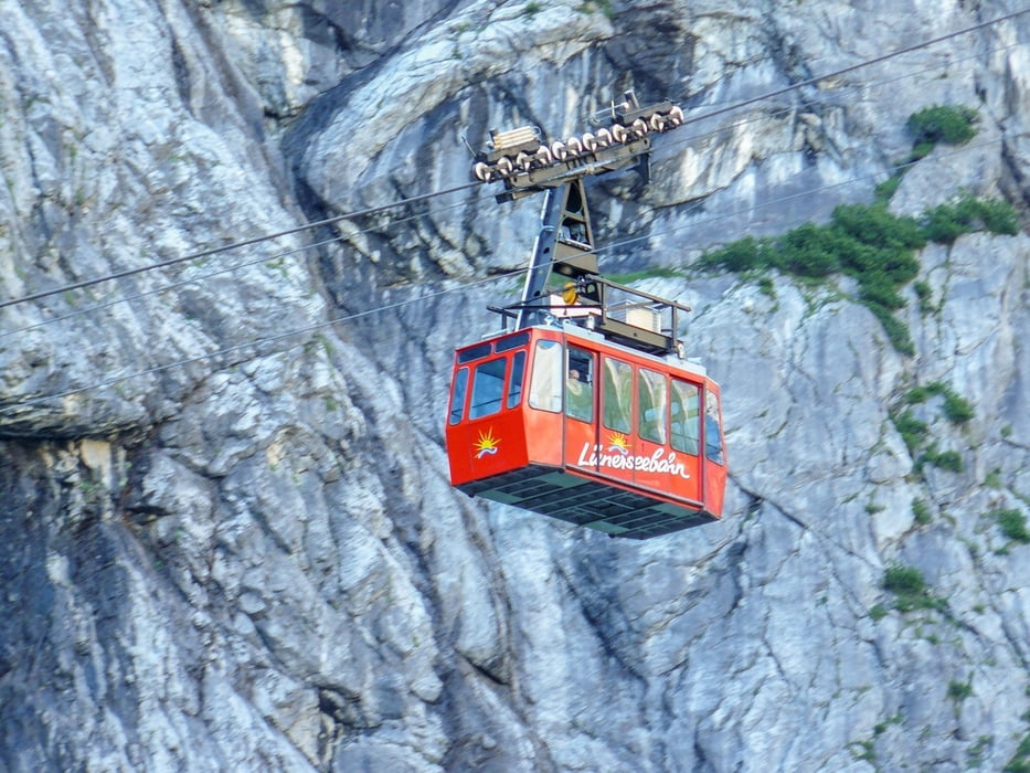
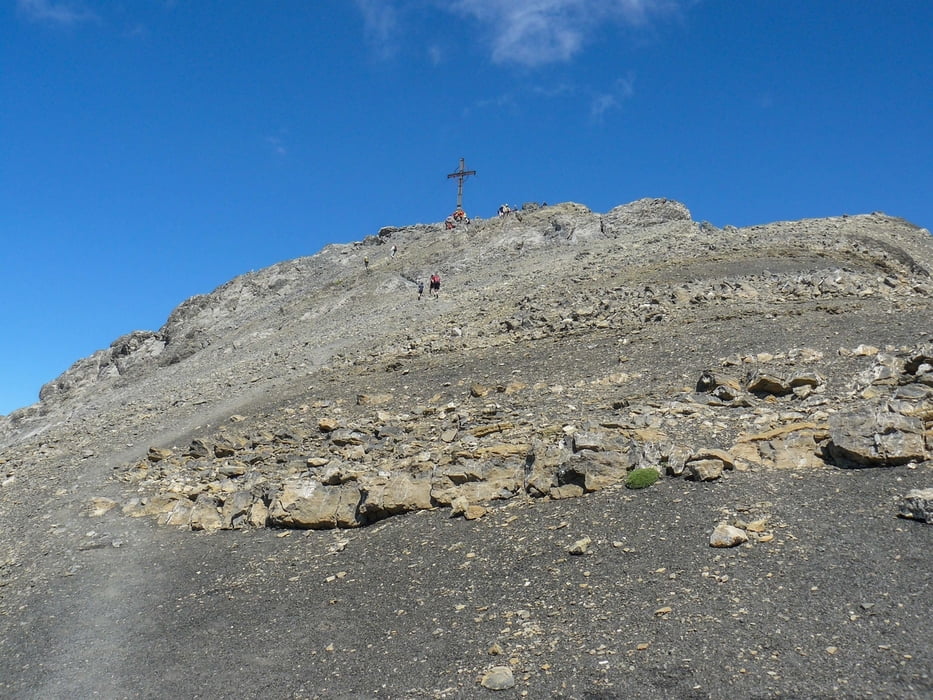
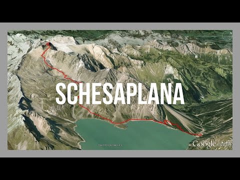
Bergtour auf den höchsten Gipfel im Rätikon. Für die gut besuchte Wanderung empfiehlt es sich bereits früh morgens unterwegs zu sein. Wer möchte nimmt die Seilbahn bis zum Lünersee. Vorbei an der Totalphütte führt der Weg auf den Gipfel. Abstieg erfolgt auf dem selben Weg.
Further information at
http://www.best-mountain-artists.de/2016/03/schesaplana-brandnertal.htmlGaleria trasy
Mapa trasy i profil wysokości
Minimum height 1566 m
Maximum height 2943 m
More about the tour author
|
|
BestMountainArtists |
Komentarze

Über den Grenzübergang Lindau oder Hörbranz aus Deutschland: Pfändertunnel - Rheintalautobahn A14 - Ambergtunnel - Abfahrt Brandnertal.
Ausreichend Parkmöglichkeiten an der Talstation der Lünerseebahn.
Ausreichend Parkmöglichkeiten an der Talstation der Lünerseebahn.
GPS tracks
Trackpoints-
GPX / Garmin Map Source (gpx) download
-
TCX / Garmin Training Center® (tcx) download
-
CRS / Garmin Training Center® (crs) download
-
Google Earth (kml) download
-
G7ToWin (g7t) download
-
TTQV (trk) download
-
Overlay (ovl) download
-
Fugawi (txt) download
-
Kompass (DAV) Track (tk) download
-
Karta trasy (pdf) download
-
Original file of the author (gpx) download
More about the tour author
|
|
BestMountainArtists |
Add to my favorites
Remove from my favorites
Edit tags
Open track
My score
Rate