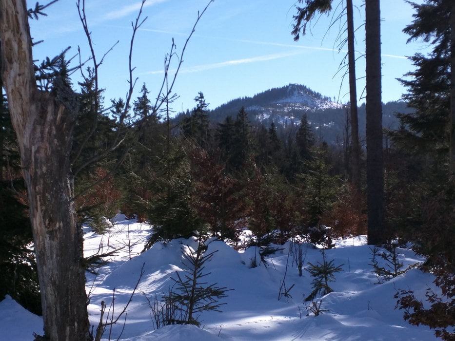
Die Tour beginnt in Lambach am Märchenschloss. Zunächst geht es stetig durch den Wald bergauf. Weiter geht es dann auf dem Kammweg, der direkt auf der Grenze zwischen Deutschland und Tschechien verläuft. Auf diesem Weg erreichen wir den Gipfel des Großen Ossers.
Die Abfahrt erfolgt auf Waldwegen zurück nach Lambach.
Further information at
http://blog.frank-faulstich.de/index.html_p=9507.htmlGaleria trasy
Mapa trasy i profil wysokości
Minimum height 688 m
Maximum height 1286 m
Komentarze

GPS tracks
Trackpoints-
GPX / Garmin Map Source (gpx) download
-
TCX / Garmin Training Center® (tcx) download
-
CRS / Garmin Training Center® (crs) download
-
Google Earth (kml) download
-
G7ToWin (g7t) download
-
TTQV (trk) download
-
Overlay (ovl) download
-
Fugawi (txt) download
-
Kompass (DAV) Track (tk) download
-
Karta trasy (pdf) download
-
Original file of the author (gpx) download
Add to my favorites
Remove from my favorites
Edit tags
Open track
My score
Rate


