

- Rundkurs gegen den Uhrzeigersinn
- Start/Ziel: Unterrain
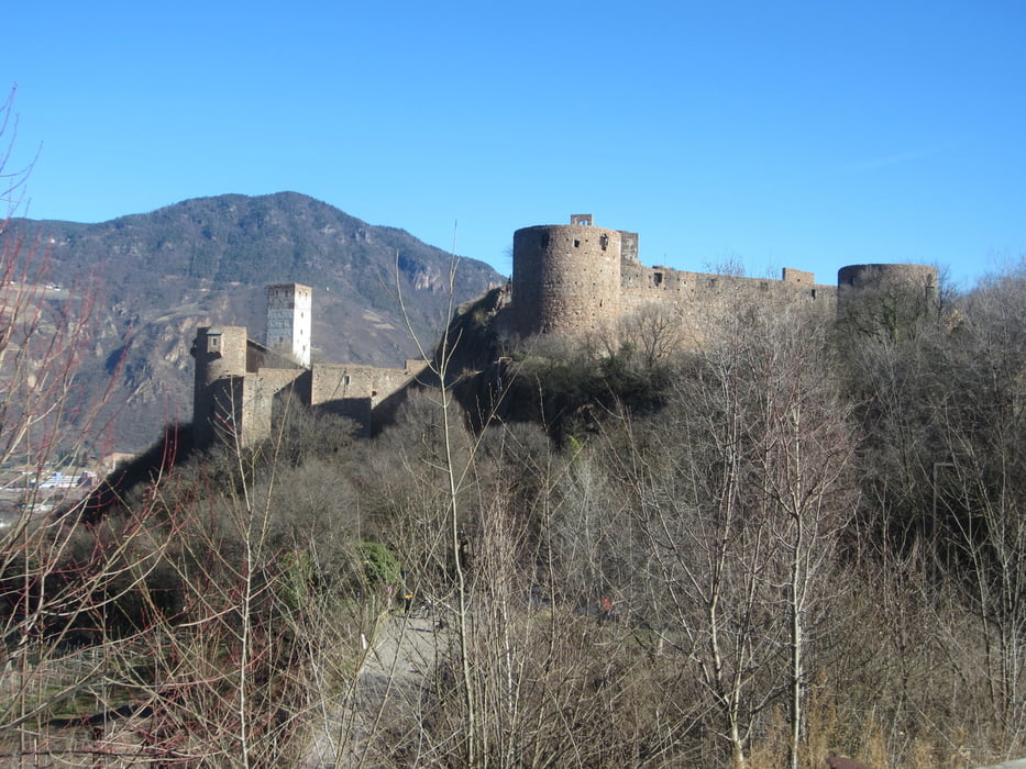
- Auf Landstrasse bergauf nach St. Pauls zur Konditorei/Cafe "Peter Paul" KM 3,07. Weiter durch die Weindörfer St.Pauls und St. Michael. Von St.Michael auf Feldwegen durch Obst- u. Weingärten zum Montiggler Wald. Auf mehr oder weniger breiten Waldwegen durch den Montiggler Wald zum Weiler Schreckbichl. Auf flowigen Trails Abfahrt zum Schloss "Sigmundskron". Auf geteerten Feldwegen zurück zum Ausgangspunkt nach Unterrain.
- Weitere Touren im Gebiet Eppan : www.eppan.com
Galeria trasy


Mapa trasy i profil wysokości
Minimum height 157 m
Maximum height 518 m
More about the tour author
|
|
MargesinFriedrich |
Komentarze

GPS tracks
Trackpoints-
GPX / Garmin Map Source (gpx) download
-
TCX / Garmin Training Center® (tcx) download
-
CRS / Garmin Training Center® (crs) download
-
Google Earth (kml) download
-
G7ToWin (g7t) download
-
TTQV (trk) download
-
Overlay (ovl) download
-
Fugawi (txt) download
-
Kompass (DAV) Track (tk) download
-
Karta trasy (pdf) download
-
Original file of the author (gpx) download
More about the tour author
|
|
MargesinFriedrich |
Add to my favorites
Remove from my favorites
Edit tags
Open track
My score
Rate