


Ich wanderte von Schwarzenbach zur evangelischen Kirche in Schwarzenacker und an den römischen Ausgrabungen vorbei in das Pfänderbachtal das ich bis zur Wassertretanlage hin aufstieg.
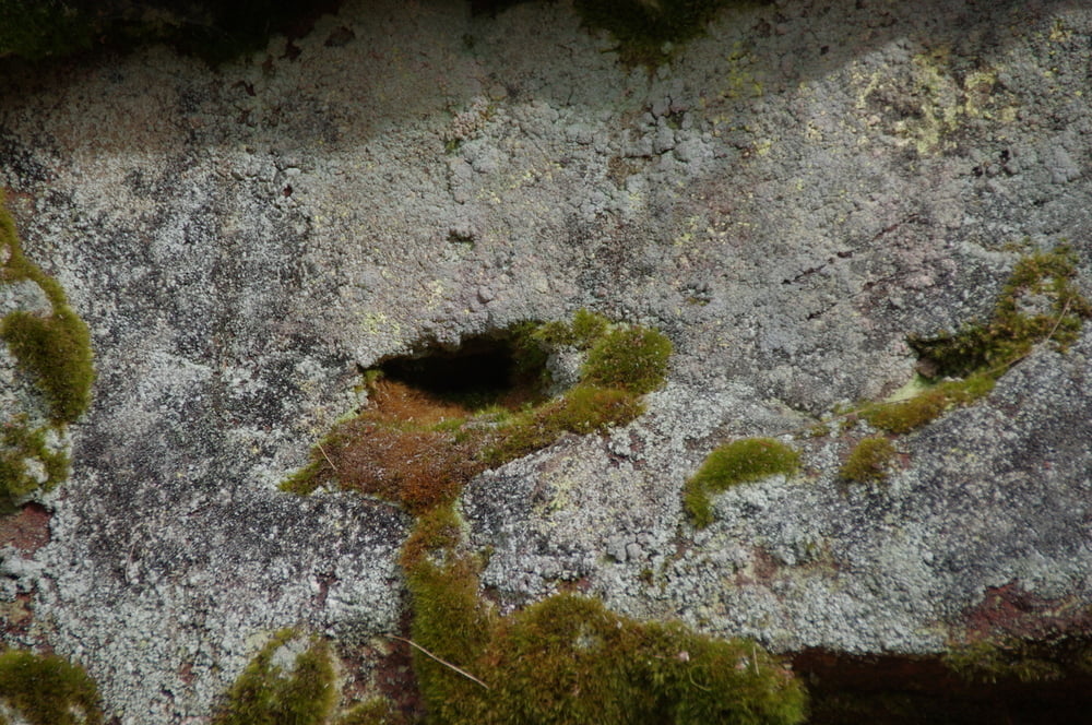
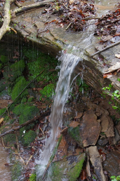
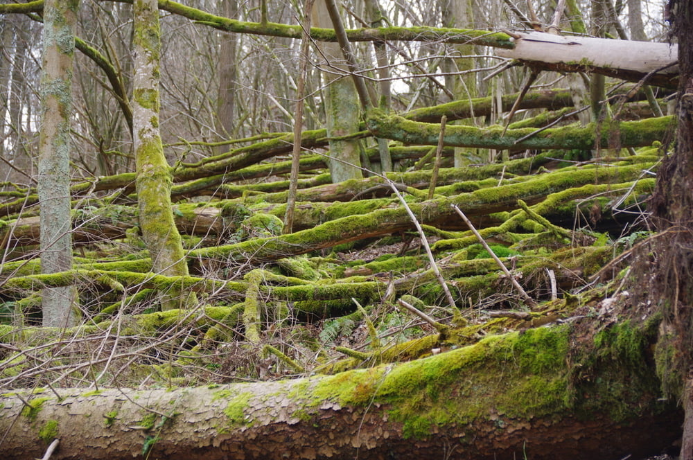
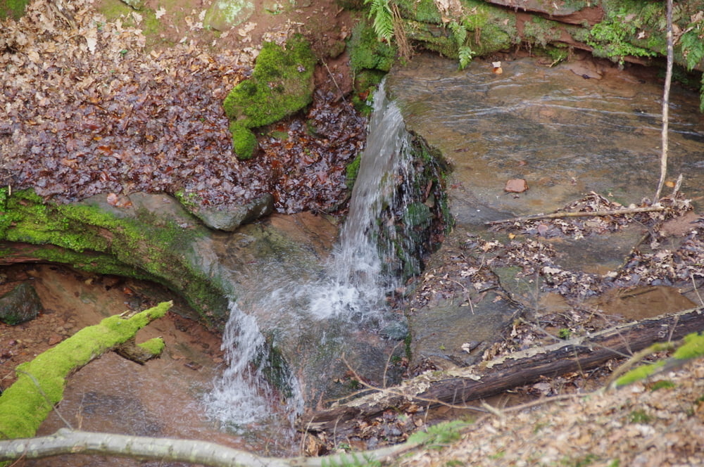
Dort hielt ich mich nach rechts in ein Nebental das landschaftlich recht ursprünglich daherkam. Während ich weiter aufstieg konnte ich die Klinge gut einsehe, musste aber über einige umgestürtzte Bäume klettern.
An der Traufkante verließ ich den Wald und wanderte über den Höhenrücken nach Einöd hinunter.
Den Rückweg trat ich dann auf dem Bürgersteig entlang der Straße an.
Further information at
https://www.saarpfalz-touristik.de/Media/Gastronomie/Huette-Homburg-Ski-und-Wanderhuette-EinoedGaleria trasy
Mapa trasy i profil wysokości
Minimum height 222 m
Maximum height 358 m
More about the tour author
|
|
Pheinz |
Komentarze

Start und Ziel in Homburg Schwarzenbach.
GPS tracks
Trackpoints-
GPX / Garmin Map Source (gpx) download
-
TCX / Garmin Training Center® (tcx) download
-
CRS / Garmin Training Center® (crs) download
-
Google Earth (kml) download
-
G7ToWin (g7t) download
-
TTQV (trk) download
-
Overlay (ovl) download
-
Fugawi (txt) download
-
Kompass (DAV) Track (tk) download
-
Karta trasy (pdf) download
-
Original file of the author (gpx) download
More about the tour author
|
|
Pheinz |
Add to my favorites
Remove from my favorites
Edit tags
Open track
My score
Rate