


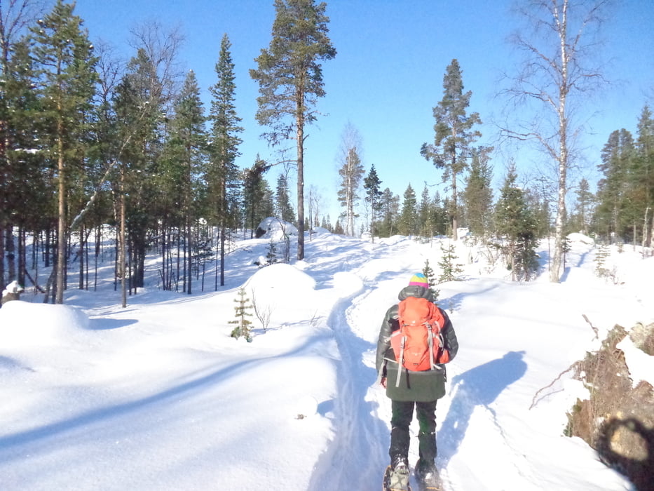
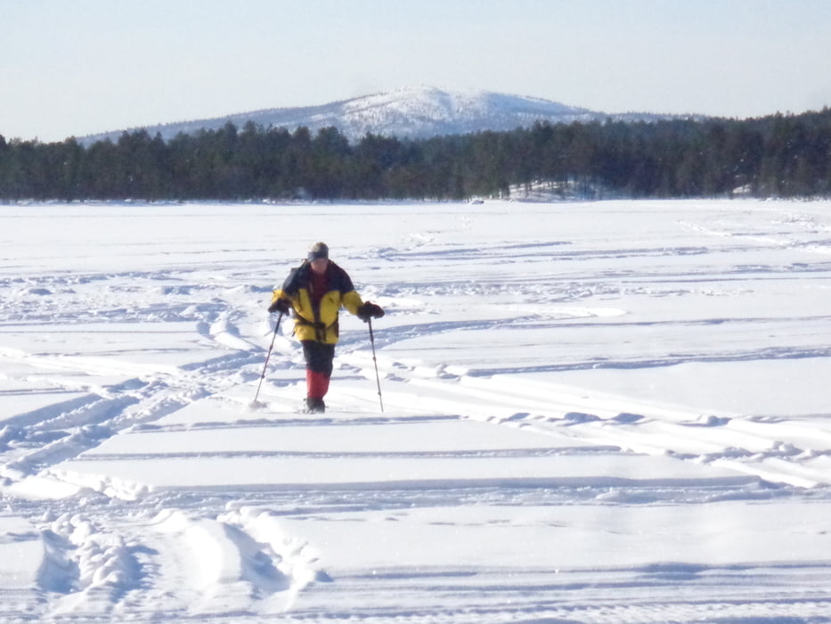
Vom Parkplatz vorerst auf dem Wanderweg bis zur Einzäunung. Falls hier eine Snow-Mobile-Spur vorhanden ist, die das Gehege links umgeht, kann eine Rundwanderung gemacht werden. Die Spur führt vorerst durch lichten Wald und dann über den Pielpajärvi See zur Wildniskirche (2 Std.).
Für den Rückweg empfiehlt sich der Wanderweg über Puntsijärvi zurück zum Parkplatz.
Galeria trasy
Mapa trasy i profil wysokości
Minimum height 122 m
Maximum height 165 m
More about the tour author

|
JoHangler |
Komentarze

Vom Flughafen Ivalo über die Bundesstraße 4 (E75) nach Inari. Nach dem Siida-Musem rechts die Straße ca. 3 km folgen bis zum Parkplatz mit Infotafel.
GPS tracks
Trackpoints-
GPX / Garmin Map Source (gpx) download
-
TCX / Garmin Training Center® (tcx) download
-
CRS / Garmin Training Center® (crs) download
-
Google Earth (kml) download
-
G7ToWin (g7t) download
-
TTQV (trk) download
-
Overlay (ovl) download
-
Fugawi (txt) download
-
Kompass (DAV) Track (tk) download
-
Karta trasy (pdf) download
-
Original file of the author (gpx) download
More about the tour author
|
|
JoHangler |
Add to my favorites
Remove from my favorites
Edit tags
Open track
My score
Rate