


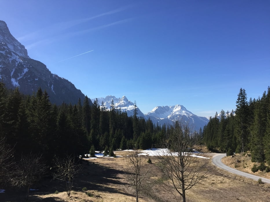
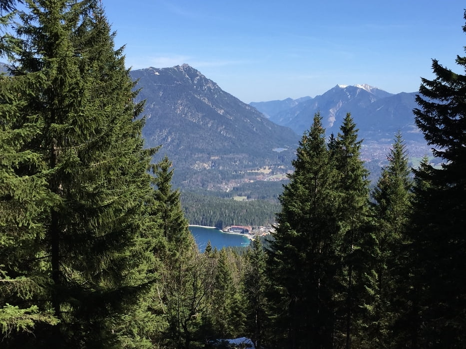
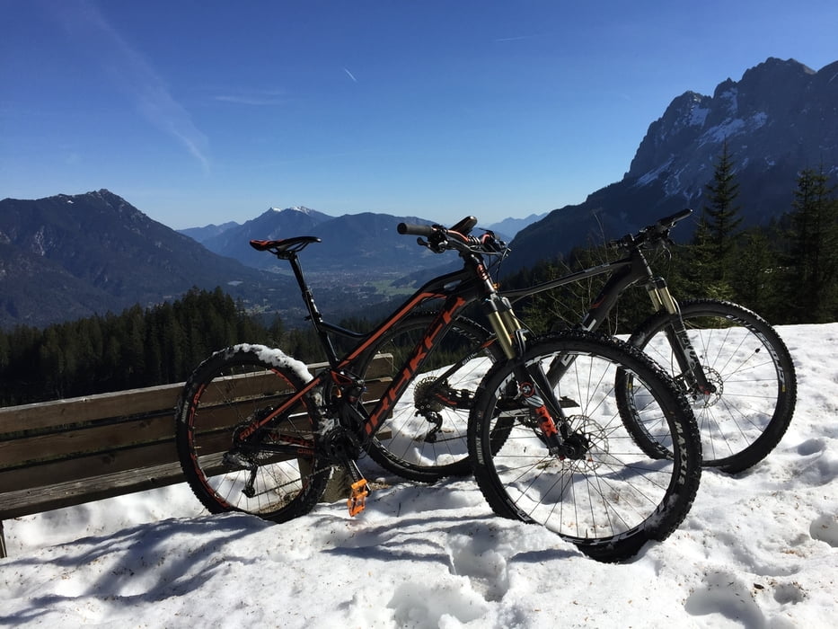
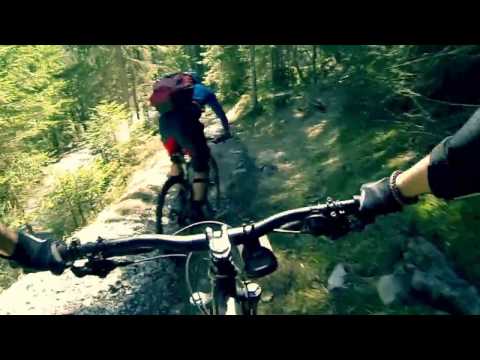
Wir starten an der Eibsee Seilbahn und fahren in ca. 2 Stunden zum höchsten Punkt der Tour. Dort gibt es eine nette Hütte zum Einkehren und man hat einen tollen Blick Richtung Ehrwald. 3 Minuten weiter und man Steigt in den Trail ein. Vorher kann man nochmal an einem Aussichtspunkt zum Eibsee hinunter schauen. Der Trail ist mittelschwer und daher auch entwas für Anfänger die schon mal einen Trail gefahren sind. Nur auf Schaltwerkskiller sollte geachtet werden. Der Trail spukt einen am See weider aus und daher sollten man eine Badehose im Sommer dabei haben. Viel Spaß!!
Galeria trasy
Mapa trasy i profil wysokości
Minimum height 972 m
Maximum height 1487 m
More about the tour author
|
|
Cassius81 |
Komentarze

Autobahn Richtung Garmisch folgen. In Garmisch der Eibseebahn Beschilderung folgen, dann nach Grainau zur Eibseebahn und dort Parken.
GPS tracks
Trackpoints-
GPX / Garmin Map Source (gpx) download
-
TCX / Garmin Training Center® (tcx) download
-
CRS / Garmin Training Center® (crs) download
-
Google Earth (kml) download
-
G7ToWin (g7t) download
-
TTQV (trk) download
-
Overlay (ovl) download
-
Fugawi (txt) download
-
Kompass (DAV) Track (tk) download
-
Karta trasy (pdf) download
-
Original file of the author (gpx) download
More about the tour author
|
|
Cassius81 |
Add to my favorites
Remove from my favorites
Edit tags
Open track
My score
Rate