


In Zeil wird gestartet, in westlich Richtung! Im Maintal bis nach Untertheres, auf dem Maintal-Radweg, oder auf der B26!? Die Tour führt über gute Radwege, mit dem Rennrad fahrbar(!) und wenig befahrene Nebenstrassen, ausser das kurze Stück auf der B303) Weit nach dem Ort Untertheres geht es rechts hoch auf die Greßhausener -Höhe. Durch den Ort durch auf die B 303. Die entlang ausrollen, über die Mainbrücke. Dabei das Steigerwald- Panorama geniesen. Nach der Main -Überquerung, an den Steigerwaldhängen vorbei wieder zurück nach Zeil
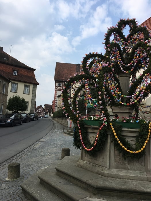
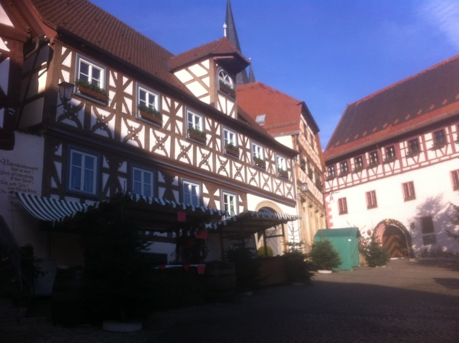
Galeria trasy

Mapa trasy i profil wysokości
Minimum height 219 m
Maximum height 352 m
More about the tour author
|
|
Astro |
Komentarze

Zeil am Main ist gut erreichbar Zwischen Schweinfurt und Bamberg gelegen
GPS tracks
Trackpoints-
GPX / Garmin Map Source (gpx) download
-
TCX / Garmin Training Center® (tcx) download
-
CRS / Garmin Training Center® (crs) download
-
Google Earth (kml) download
-
G7ToWin (g7t) download
-
TTQV (trk) download
-
Overlay (ovl) download
-
Fugawi (txt) download
-
Kompass (DAV) Track (tk) download
-
Karta trasy (pdf) download
-
Original file of the author (gpx) download
More about the tour author
|
|
Astro |
Add to my favorites
Remove from my favorites
Edit tags
Open track
My score
Rate