Login

Zapomniałeś swój login?

Cookies have to be accepted!
Your browser's cookie functionality is disabled. Please enable this functionality.

Not a member yet?

Register now
Login

Available for registred users only

Log in to use this feature.

Zapomniałeś swój login?

Cookies have to be accepted!
Your browser's cookie functionality is disabled. Please enable this functionality.

Not a member yet?

Register now
Filter
Kategorie
Advanced filters
  • Długość (km)
  • Wysokość
Zapisz filtr Reset filter

TrackRank

QRCode

Technical data

Długość33,4 km Wysokość403 m Way down404 m Czas trwania02:10 h:m Data15.04.2017
Oceny Author Krajobraz Czynnik zadowolenia Kondycja Technika

Statystyka

259 Widoki Oceny 25 Downloads / Pliki do pobrania Przeciętnie
Rate
  • Karta trasy
  • Dojazd
  • Downloads / Pliki do pobrania

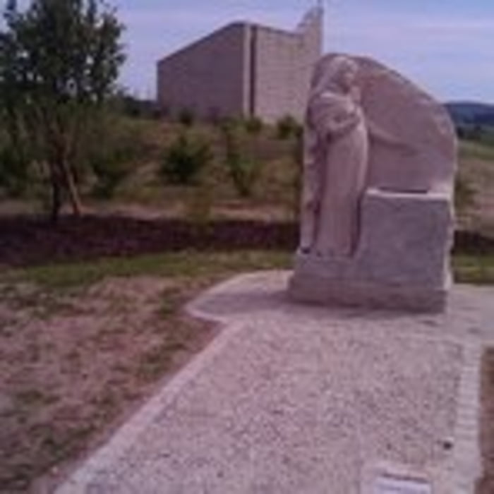
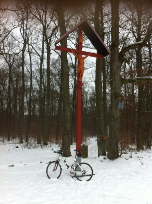
Von Zeil Hoch zur Hohen Wann, weiter zur hohen Wart, vorbei am Königsberger Schloß, hoch zum Rennweg an den Dornbusch Bergen. Den Rennweg vor bis Köslau biken. Danach ab nach Dörflis, wieder hoch am Drei-Länder-Stein und rotem Kreuz vorbei zum Zeiler Käpalla. Den herrlichen Ausblick ins Maintal geniesen, danach ein gutes Göller-Bier im Naturfreundehaus!

Familienfreundliche Tour über gut befahrbare Flurbereinigungs- und Waldwege!


Galeria trasy

Mapa trasy i profil wysokości

  • Open Street Map
  • Google
Minimum height 232 m Maximum height 482 m Widok szczegółowy

More about the tour author

Astro
Member since 2009

Send private message

Komentarze

Zeil am Main ist erreichbar, zwischen Bamberg und Schweinfurt gelegen!

GPS tracks

Trackpoints
  • GPX / Garmin Map Source (gpx) download
  • TCX / Garmin Training Center® (tcx) download
  • CRS / Garmin Training Center® (crs) download
  • Google Earth (kml) download
  • G7ToWin (g7t) download
  • TTQV (trk) download
  • Overlay (ovl) download
  • Fugawi (txt) download
  • Kompass (DAV) Track (tk) download
  • Karta trasy (pdf) download
  • Original file of the author (gpx) download

More about the tour author

Astro
Member since 2009

Send private message
Share track
Add to my favorites
Remove from my favorites
Edit tags
My score
Rate
Trasa: Von Zeil am Main in die Hassberge
Rodzaj: Rower górski (MTB)
Długość: 33,4 km
Evaluated on:
Czas trwania:
Day(s)
Hour(s)
Minute(s)
Ocena: Krajobraz Czynnik zadowolenia Kondycja Technika