Login

Zapomniałeś swój login?

Cookies have to be accepted!
Your browser's cookie functionality is disabled. Please enable this functionality.

Not a member yet?

Register now
Login

Available for registred users only

Log in to use this feature.

Zapomniałeś swój login?

Cookies have to be accepted!
Your browser's cookie functionality is disabled. Please enable this functionality.

Not a member yet?

Register now
Filter
Kategorie
Advanced filters
  • Długość (km)
  • Wysokość
Zapisz filtr Reset filter

TrackRank

QRCode

Technical data

Długość74,8 km Wysokość0 m Way down0 m Czas trwania00:00 h:m Data20.06.2005
Oceny Author User Krajobraz Czynnik zadowolenia Kondycja Technika

Statystyka

994 Widoki 2 Oceny 322 Downloads / Pliki do pobrania 3.00 Przeciętnie
Rate
  • Karta trasy
  • Dojazd
  • Downloads / Pliki do pobrania
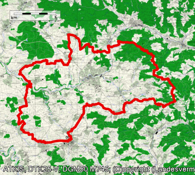
Schöne Trekkingtour ums Backnanger Ländliche Umland , mit einem größerem Anstieg zum Traihof.
Begonnen werden kann der Tripp überall ums Backnanger Umland .

Galeria trasy

Mapa trasy i profil wysokości

  • Open Street Map
  • Google
Minimum height 99999 m Maximum height 2147483647 m Widok szczegółowy

More about the tour author

Gerd Laible
Member since 2005

Send private message

Komentarze

steg on 06.01.2009

schöne Tour mit Bergwertung zum Trailhof

Das Highlight dieser Tour ist sicherlich der ausgedehnte Anstieg zwischen Aichelbach und "Trail"hof. Da kommt der Motor sogar bei -2°C auf Betriebstemperatur. Die Hoffnung auf "Trails" wird leider nicht erfüllt, stattdessen verläuft die Strecke dann bis Allmersbach vermehrt auf befahrenen Strassen. Fast schon zu viel Strasse für eine Trekkingtour. Wie ich gesehen habe, hat das Backnanger Umland aber neben den Heiligen Hallen von AMG einiges zu bieten, weshalb ich die Runde sicherlich nicht zum letzten Mal gefahren bin. Super!
Von Stgtt kommend B 14 Richtung Schw. Hall bis Backnang.

GPS tracks

Trackpoints
  • GPX / Garmin Map Source (gpx) download
  • TCX / Garmin Training Center® (tcx) download
  • CRS / Garmin Training Center® (crs) download
  • Google Earth (kml) download
  • G7ToWin (g7t) download
  • TTQV (trk) download
  • Overlay (ovl) download
  • Fugawi (txt) download
  • Kompass (DAV) Track (tk) download
  • Karta trasy (pdf) download
  • Original file of the author (g7t) download

More about the tour author

Gerd Laible
Member since 2005

Send private message
Share track
Add to my favorites
Remove from my favorites
Edit tags
My score
Rate
Trasa: Rund um Backnang
Rodzaj: Rower trekkingowy
Długość: 74,8 km
Evaluated on:
Czas trwania:
Day(s)
Hour(s)
Minute(s)
Ocena: Krajobraz Czynnik zadowolenia Kondycja Technika