


Von Neumarkt über St. Veit in der Gegegnd (vulgo Pfeit) und Mühlen führt die Runde nach Mohndorf. Über Waldwege geht es bis zum Kraftwerkeinlauf 1400 hm, über einen Verbindungsweg zur Auffahrtsstraße Tonnerhütte.
MTBikern, mit guter Kondition, ist auch ein Abstecher zur bewirtschafteten Tonnerhütte 1600 m zu empfehlen.
Weiter führt die Route nach Jakobsberg über die Kalköfen nach See und Greith. Von dort zurück zum Ausgangspunkt
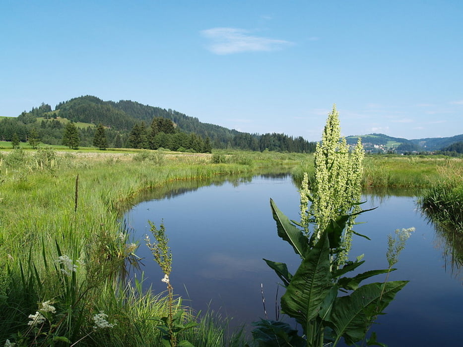
Galeria trasy
Mapa trasy i profil wysokości
Minimum height 772 m
Maximum height 1357 m
More about the tour author
|
|
sportfred1611 |
Komentarze

Der Ausgangspunkt Neumarkt in Steiermark ist von Osten über Bruck an der Mur - Judenburg - Scheifling zu erreichen. Von Süden über Klagenfurt St. Veit an der Glan- Neumarkt.
Der beste Ausgangspunkt ist bei der Pfarrkirche St. Marein bei Neumarkt. Parkmöglichkeit
GPS tracks
Trackpoints-
GPX / Garmin Map Source (gpx) download
-
TCX / Garmin Training Center® (tcx) download
-
CRS / Garmin Training Center® (crs) download
-
Google Earth (kml) download
-
G7ToWin (g7t) download
-
TTQV (trk) download
-
Overlay (ovl) download
-
Fugawi (txt) download
-
Kompass (DAV) Track (tk) download
-
Karta trasy (pdf) download
-
Original file of the author (gpx) download
More about the tour author
|
|
sportfred1611 |
Add to my favorites
Remove from my favorites
Edit tags
Open track
My score
Rate