Login

Zapomniałeś swój login?

Cookies have to be accepted!
Your browser's cookie functionality is disabled. Please enable this functionality.

Not a member yet?

Register now
Login

Available for registred users only

Log in to use this feature.

Zapomniałeś swój login?

Cookies have to be accepted!
Your browser's cookie functionality is disabled. Please enable this functionality.

Not a member yet?

Register now
Filter
Kategorie
Advanced filters
  • Długość (km)
  • Wysokość
Zapisz filtr Reset filter

TrackRank

QRCode

Technical data

Długość12,7 km Wysokość638 m Way down640 m Czas trwania03:00 h:m Data22.04.2017
Oceny Author Krajobraz Czynnik zadowolenia Kondycja Technika

Statystyka

377 Widoki Oceny 35 Downloads / Pliki do pobrania Przeciętnie
Rate
  • Karta trasy
  • Dojazd
  • Downloads / Pliki do pobrania

Tour in Ostschweiz/Liechtenstein am Sonnenhang bei Balzers, Schwierigkeit S2

Anspruchsvolle Abfahrt, teilweise ausgesetzt.

Diverse enge Kurven, sollten geübten Endurofahrern keine Probleme machen.

Der 2te Trail kann bei anderer Auffahrt von oben her verlängert werden.

Ich laß den Trailnamen absichtlich weg.
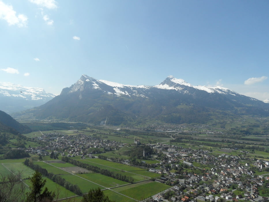


Galeria trasy

Mapa trasy i profil wysokości

  • Open Street Map
  • Google
Minimum height 484 m Maximum height 938 m Widok szczegółowy

More about the tour author

skyhopper
Member since 2005

Send private message

Komentarze

Parken am Ortsausgang Balzers Richtung Luzisteig

oder in Luzisteig


GPS tracks

Trackpoints
  • GPX / Garmin Map Source (gpx) download
  • TCX / Garmin Training Center® (tcx) download
  • CRS / Garmin Training Center® (crs) download
  • Google Earth (kml) download
  • G7ToWin (g7t) download
  • TTQV (trk) download
  • Overlay (ovl) download
  • Fugawi (txt) download
  • Kompass (DAV) Track (tk) download
  • Karta trasy (pdf) download
  • Original file of the author (gpx) download

More about the tour author

skyhopper
Member since 2005

Send private message
Share track
Add to my favorites
Remove from my favorites
Edit tags
My score
Rate
Trasa: Luzisteig-Balzers
Rodzaj: Rower górski (MTB)
Długość: 12,7 km
Evaluated on:
Czas trwania:
Day(s)
Hour(s)
Minute(s)
Ocena: Krajobraz Czynnik zadowolenia Kondycja Technika