
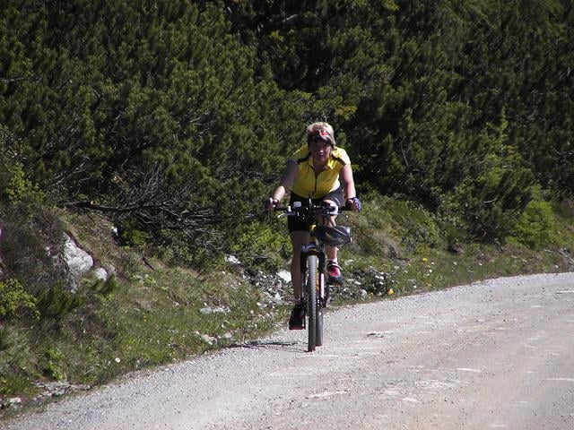

Von der Talstation der Reiteralm geht es zuerst auf der Bundesstraße über Forstau in Richtung Radstadt.
Am höchsten Punkt der Straße fährt man dann links
Richtung Trinker Alm ( zuerst ca. 10% und ab der Hälfte ca. 7% mittlere Steigung).
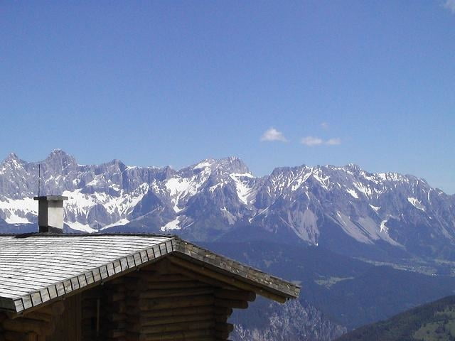
Am Ziel angekommen, kann man auf einer großen Terrasse des GH in der Sonne braten.
Am höchsten Punkt der Straße fährt man dann links
Richtung Trinker Alm ( zuerst ca. 10% und ab der Hälfte ca. 7% mittlere Steigung).
Am Ziel angekommen, kann man auf einer großen Terrasse des GH in der Sonne braten.
Galeria trasy
Mapa trasy i profil wysokości
Minimum height 782 m
Maximum height 1751 m
More about the tour author
|
|
bonovox |
Komentarze

Von Liezen über Ennstalbundesstraße Richtung Radstadt bis Pichl.
Von Salzburg Richtung Radstadt bis Pichl.
Von Salzburg Richtung Radstadt bis Pichl.
GPS tracks
Trackpoints-
GPX / Garmin Map Source (gpx) download
-
TCX / Garmin Training Center® (tcx) download
-
CRS / Garmin Training Center® (crs) download
-
Google Earth (kml) download
-
G7ToWin (g7t) download
-
TTQV (trk) download
-
Overlay (ovl) download
-
Fugawi (txt) download
-
Kompass (DAV) Track (tk) download
-
Karta trasy (pdf) download
-
Original file of the author (g7t) download
More about the tour author
|
|
bonovox |
Add to my favorites
Remove from my favorites
Edit tags
Open track
My score
Rate