Login

Zapomniałeś swój login?

Cookies have to be accepted!
Your browser's cookie functionality is disabled. Please enable this functionality.

Not a member yet?

Register now
Login

Available for registred users only

Log in to use this feature.

Zapomniałeś swój login?

Cookies have to be accepted!
Your browser's cookie functionality is disabled. Please enable this functionality.

Not a member yet?

Register now
Filter
Kategorie
Advanced filters
  • Długość (km)
  • Wysokość
Zapisz filtr Reset filter

TrackRank

QRCode

Technical data

Długość36,4 km Wysokość596 m Way down605 m Czas trwania00:00 h:m Data21.05.2017
Oceny Author Krajobraz Czynnik zadowolenia Kondycja Technika

Statystyka

188 Widoki Oceny 39 Downloads / Pliki do pobrania Przeciętnie
Rate
  • Karta trasy
  • Dojazd
  • Downloads / Pliki do pobrania

Start in Bad Suderode.

Langer steiler Anstieg auf breiten Forstwegen nach Friedrichsbrunn
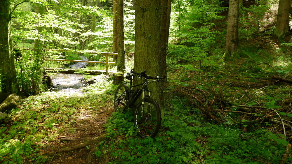
Abfahrt teils über Wege, die längere Zeit (Stand Mai 2017) nicht gepflegt / befahren wurden.
Am Tiefenbach runter, mehrere Wasserdurchfahrten.
Mittagspause in Treseburg.

Dann Hexenstieg Richtung Thale runter (ca. 8 km); Wanderer unterwegs! Anfangs fahrbar, letzten 3 km sehr verblockt, aber schön

TouriPunk in Thale.
asphaltierte Radwege bis Suderode

Mapa trasy i profil wysokości

  • Open Street Map
  • Google
Minimum height 152 m Maximum height 570 m Widok szczegółowy

More about the tour author

Justus
Member since 2008

Send private message

Komentarze

GPS tracks

Trackpoints
  • GPX / Garmin Map Source (gpx) download
  • TCX / Garmin Training Center® (tcx) download
  • CRS / Garmin Training Center® (crs) download
  • Google Earth (kml) download
  • G7ToWin (g7t) download
  • TTQV (trk) download
  • Overlay (ovl) download
  • Fugawi (txt) download
  • Kompass (DAV) Track (tk) download
  • Karta trasy (pdf) download
  • Original file of the author (gpx) download

More about the tour author

Justus
Member since 2008

Send private message
Share track
Add to my favorites
Remove from my favorites
Edit tags
My score
Rate
Trasa: Suderrode - Hexenstieg
Rodzaj: Rower górski (MTB)
Długość: 36,4 km
Evaluated on:
Czas trwania:
Day(s)
Hour(s)
Minute(s)
Ocena: Krajobraz Czynnik zadowolenia Kondycja Technika