Login

Zapomniałeś swój login?

Cookies have to be accepted!
Your browser's cookie functionality is disabled. Please enable this functionality.

Not a member yet?

Register now
Login

Available for registred users only

Log in to use this feature.

Zapomniałeś swój login?

Cookies have to be accepted!
Your browser's cookie functionality is disabled. Please enable this functionality.

Not a member yet?

Register now
Filter
Kategorie
Advanced filters
  • Długość (km)
  • Wysokość
Zapisz filtr Reset filter

TrackRank

QRCode

Technical data

Długość95,7 km Wysokość565 m Way down551 m Czas trwania04:54 h:m Data25.05.2017
Oceny Author Krajobraz Czynnik zadowolenia Kondycja Technika

Statystyka

438 Widoki Oceny 52 Downloads / Pliki do pobrania Przeciętnie
Rate
  • Karta trasy
  • Dojazd
  • Downloads / Pliki do pobrania
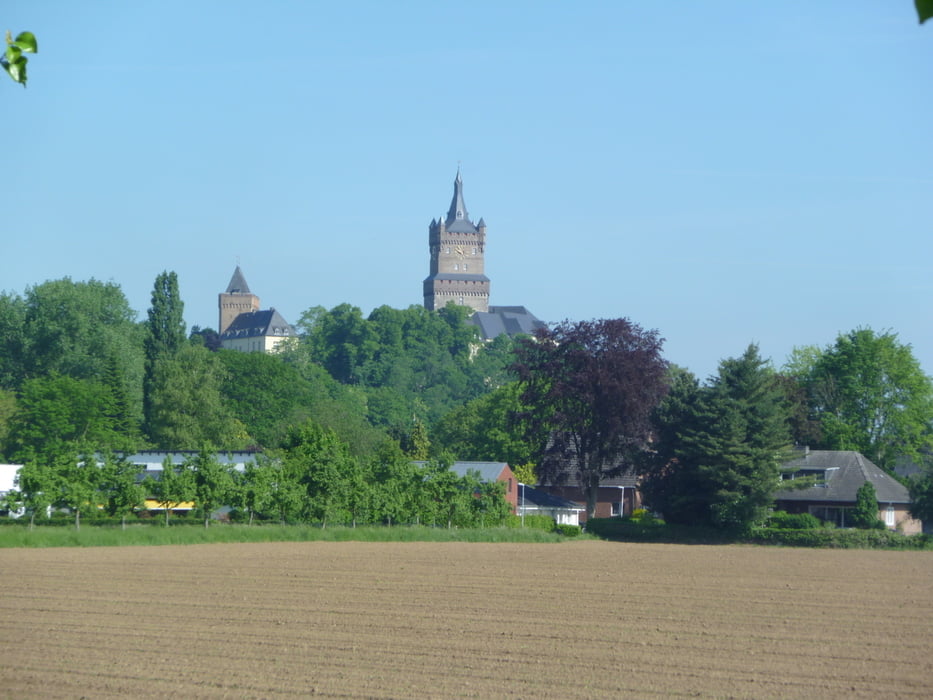
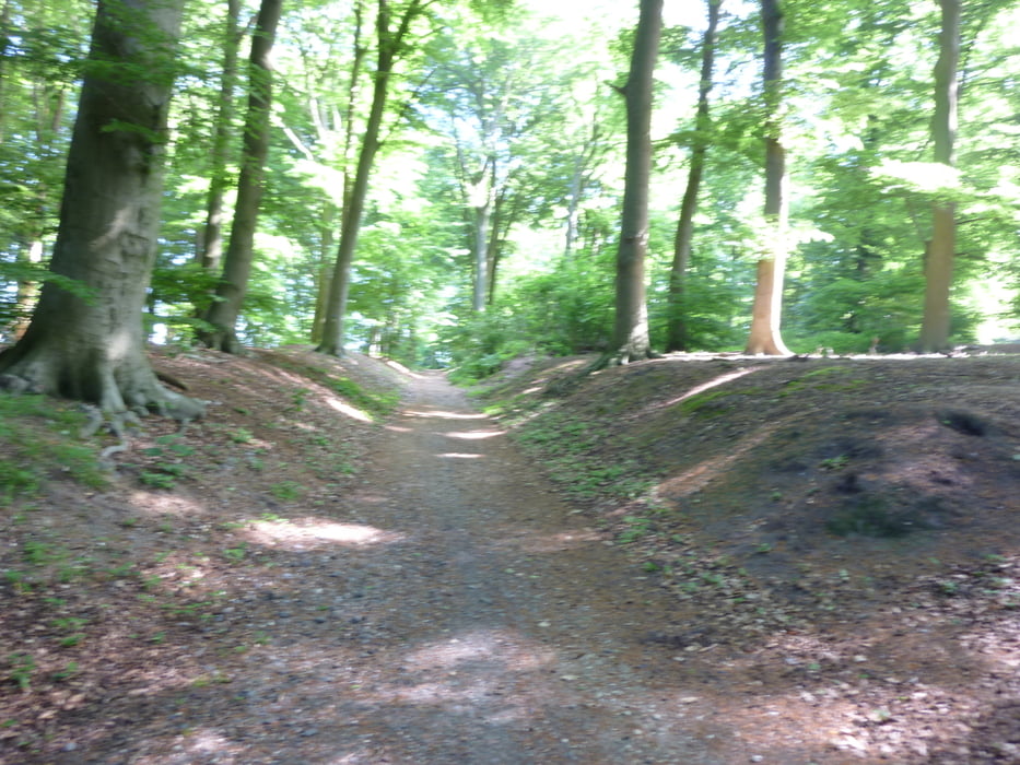
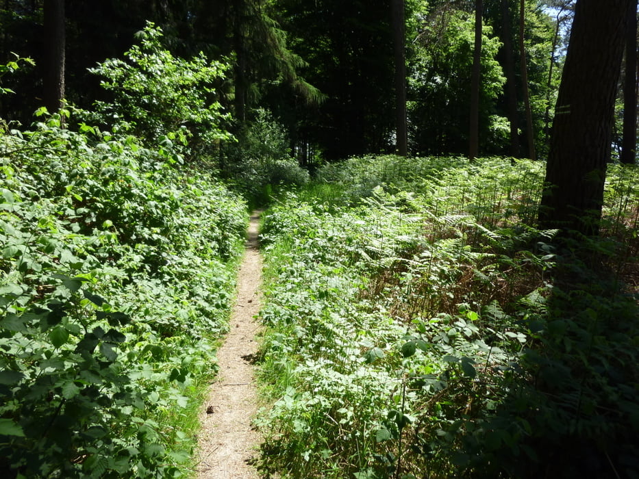
Mit dem Zug von kempen nach Kleve gefahren und am Bahnhof Kleve gestartet.Tour geht viel über den europäischen Fernwnderweg  E8 ist auch ein teil des Jokobsweg am Niederrhein.Es sind aber auch Aspfaltstücke und Wirtschaftswege dabei.Sehr schöne Tour an Schloss Moyland,Uedemer Hochwald,Tüschenwald , Sonsbecker Schweiz,Die Leucht,Kloster Kamp,Oermterberg,Rheurther Höhenzug vorbei.

Galeria trasy

Mapa trasy i profil wysokości

  • Open Street Map
  • Google
Minimum height 34 m Maximum height 115 m Widok szczegółowy

More about the tour author

julem
Member since 2011

Send private message

Komentarze

GPS tracks

Trackpoints
  • GPX / Garmin Map Source (gpx) download
  • TCX / Garmin Training Center® (tcx) download
  • CRS / Garmin Training Center® (crs) download
  • Google Earth (kml) download
  • G7ToWin (g7t) download
  • TTQV (trk) download
  • Overlay (ovl) download
  • Fugawi (txt) download
  • Kompass (DAV) Track (tk) download
  • Karta trasy (pdf) download
  • Original file of the author (gpx) download

More about the tour author

julem
Member since 2011

Send private message
Share track
Add to my favorites
Remove from my favorites
Edit tags
My score
Rate
Trasa: Niederrhein-Cross
Rodzaj: Rower górski (MTB)
Długość: 95,7 km
Evaluated on:
Czas trwania:
Day(s)
Hour(s)
Minute(s)
Ocena: Krajobraz Czynnik zadowolenia Kondycja Technika